Description
January 31, 2017 - February 07, 2017
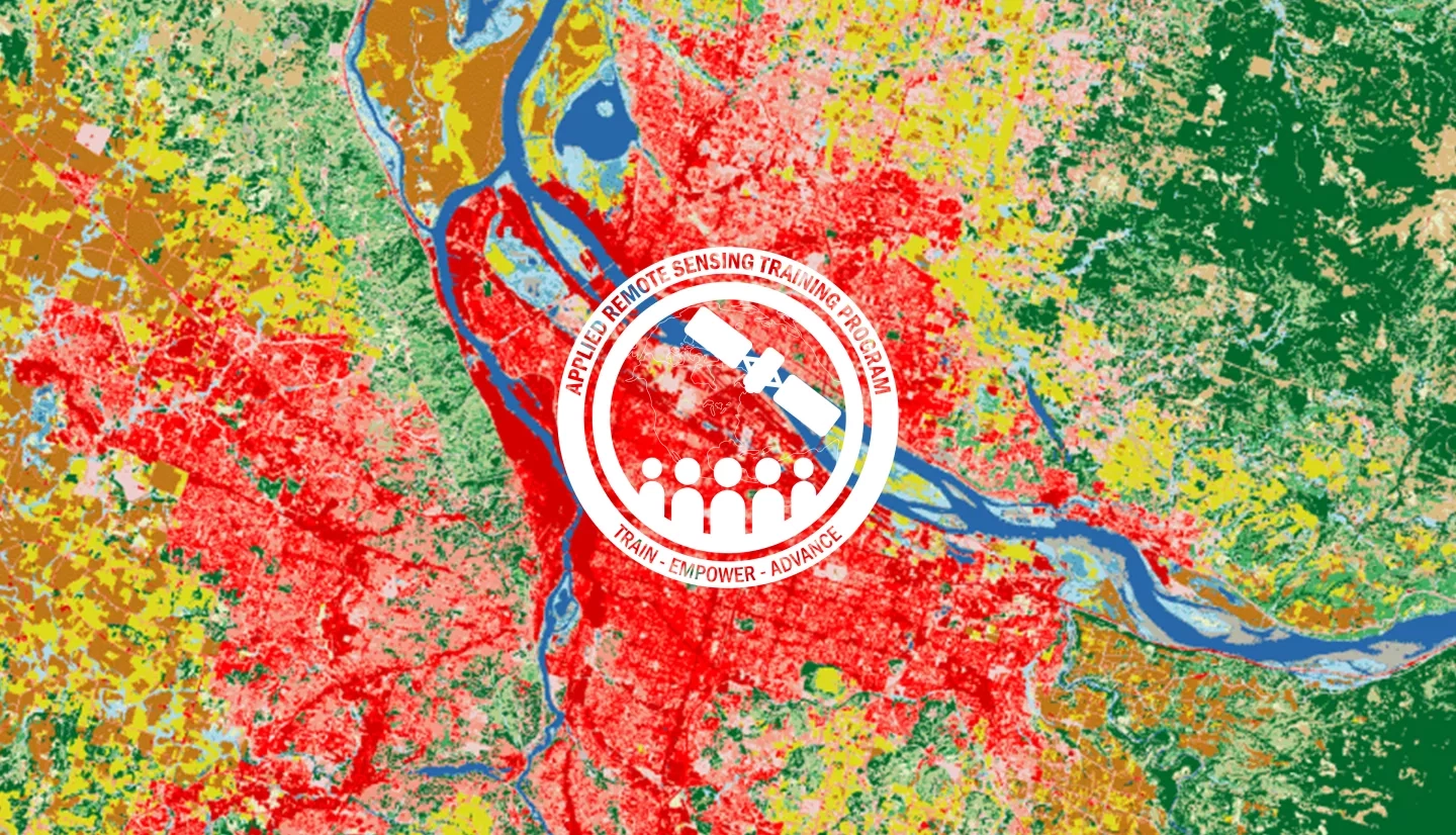
Land cover classification is an important first step to assessing land cover and land use. This advanced webinar provides lectures and hands-on activities focused on using satellite imagery for land cover classification. In two four-hour sessions, attendees will learn how to acquire Landsat imagery, display it in an open-source Geographic Information System (GIS), analyze spectral signatures of land cover types, and conduct a supervised land cover classification. Both sessions feature a lecture followed by a Q&A session.
- Understand how to access and download Landsat imagery
- Become familiar with Landsat bands and color combinations
- Learn the basic steps for conducting a supervised land cover classification by:
- Creating training sites
- Analyzing differences in spectral signatures
- Understand the differences between an unsupervised classification and a supervised classification
Local, regional, state, federal, and international organizations interested in assessing vegetation condition using satellite imagery.
- Two 2-hour sessions
An overview of land cover classification, including unsupervised and supervised classification.
Materials:
Analyzing training sites to improve the supervised land cover classification.
Materials:
- Complete Sessions 1 & 2A of Fundamentals of Remote Sensing, or equivalent experience
- Download and install QGIS and all accompanying software
- Use this Downloading and Installing QGIS exercise for help (Para descargar e instalar QGIS)
- This advanced training will use QGIS software, and although previous experience with this software is not required, some experience with geospatial software will be helpful. We strongly recommend you open QGIS and ensure the software is working prior to starting the webinar.
- Complete the Introduction to QGIS & Raster Imagery exercise (Introducción a QGIS y a Imágenes Ráster)
- Download Prerequisite Data »
- If you have difficulty accessing the necessary Landsat data through GloVis, try using EarthExplorer.
- This includes installation of the QGIS Plugin Semi-Automatic Classification Plugin
- Complete Homework via Google Forms (Tarea de prerrequisito)
Attendees that do not complete prerequisites may not be properly prepared for the pace and exercises during the training.


