Equipping Communities With Lifesaving Data
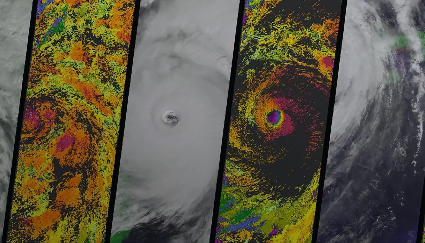
As weather-related hazards continue to increase in frequency and intensity, how do we best prepare communities for what may come next? Our team puts Earth-observing data to work — helping communities weather future storms and remain resilient.
We use remote sensing technology to collect relevant data and interpret it for areas at risk of devastation during future disasters. We collaborate with city planners, community leaders and local government agencies with imagery that helps deepen understanding of potential risks and strengthen preparedness efforts.
Our goal is to enable and demonstrate what is possible to do with Earth-observing data, help where we can and support disaster risk reduction. Prevention is the goal, and resilience is the outcome.
Communities & Areas at Intensive Risk (CAIR)
Communities and Areas at Intensive Risk (CAIR) include coastal regions vulnerable to coastal erosion; areas that may be affected by sea level rise coupled with land subsidence, severe storms, earthquakes or tsunamis; mountainous regions that expose communities to unstable landscape elements such as flash flooding, landslides and glacial movements; and small islands that face sea level rise, tropical cyclones and storm surge and subsidence.