Description
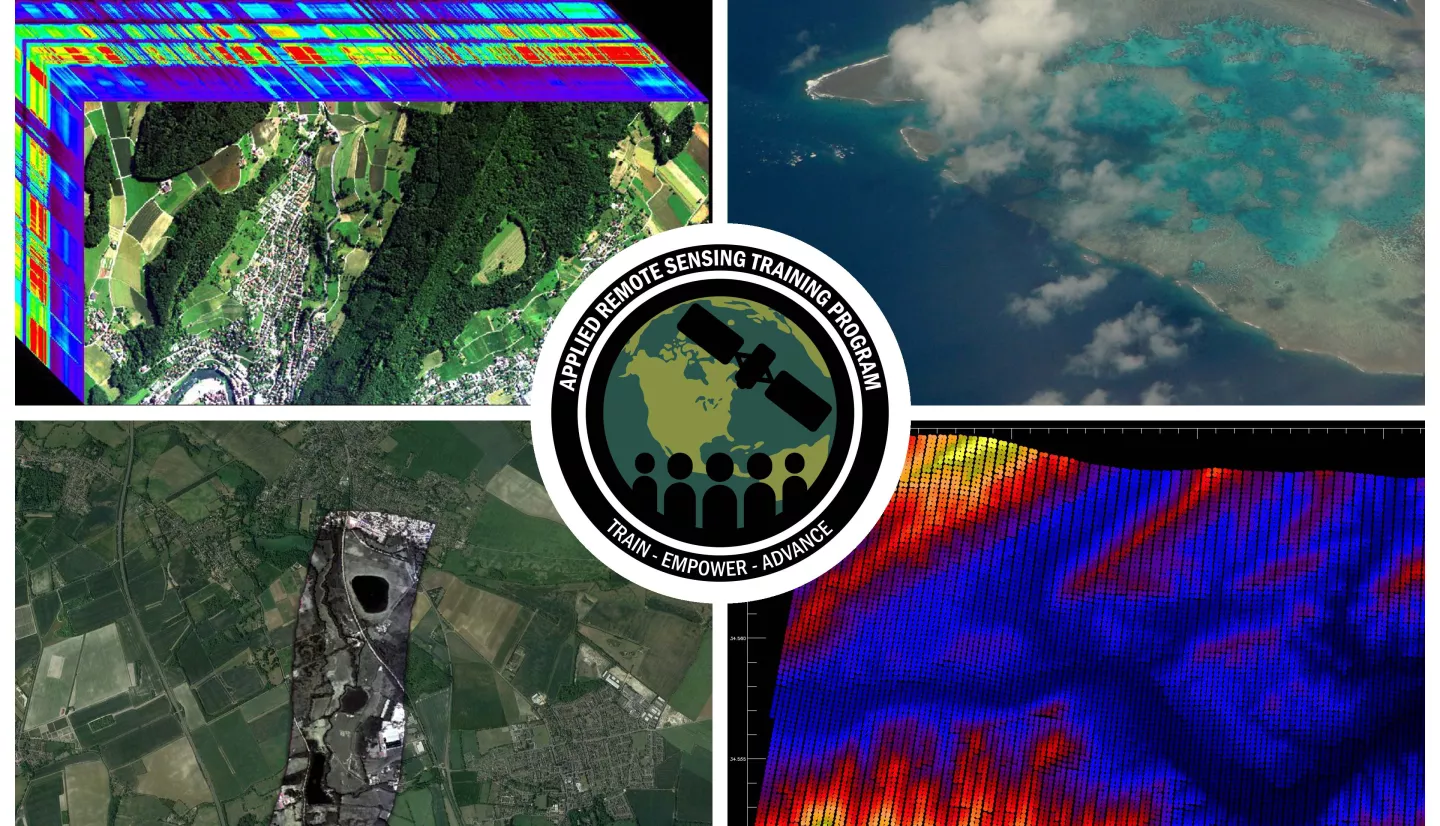
Effective monitoring and management of critically important and biodiverse ecosystems requires a comprehensive suite of data and analysis tools. The use of NASA Earth Observations (EO), in particular the combination of multispectral and hyperspectral optical imagery, thermal infrared data, and laser altimeter (LiDAR) data, can provide an increased understanding of ecosystem function. This training series will first highlight the use of hyperspectral Visible to Shortwave Infrared (VSWIR) imaging spectroscopy data, for example from AVIRIS-NG and PRISM instruments, for measuring and monitoring terrestrial and aquatic biodiversity (e.g., mapping plant or phytoplankton functional types). Next, the series will focus on using thermal and LiDAR data for characterizing the structure and function of ecosystems using airborne campaigns including the Hyperspectral Thermal Emission Spectrometer (HyTES) and NASA's Land, Vegetation, and Ice Sensor (LVIS). This training will also prepare participants for the use of data from upcoming NASA satellite missions and airborne campaigns such as the much-anticipated Surface Biology and Geology (SBG) mission and the NASA Biodiversity field campaign in the Greater Cape Floristic Region of South Africa (BioSCape).
By the end of this training attendees will be able to:
- Understand the applications of hyperspectral data, multispectral data, and LiDAR data for biodiversity monitoring and analysis
- Utilize existing datasets in preparation for upcoming NASA satellite missions and airborne campaigns
Domestic and international governmental and non-governmental organizations who would like to use available and anticipated NASA data to help inform biodiversity-related decisions in the terrestrial and aquatic realms.
Four, 1.5-hour sessions
Trainers: Amber McCullum, Juan Torres-Pérez, Britnay Beaudry
- Overview of hyperspectral visible to Shortwave Infrared (VSWIR) imaging spectroscopy data
- Highlight of hyperspectral instruments for measuring and monitoring terrestrial and aquatic biodiversity, such as AVIRIS-NG and PRISM
- Highlight upcoming mission development such as the Surface Geology and Biology (SBG) mission and the Plankton, Aerosol, Cloud, ocean Ecosystem (PACE) mission
- Q&A Session
Materials:
Trainers: Amber McCullum, Juan Torres-Pérez, Britnay Beaudry
- Thermal and LiDAR data for characterizing the structure and function of ecosystems using airborne campaigns
- Highlight thermal and LiDAR missions such as the Hyperspectral Thermal Emission Spectrometer (HyTES) and NASA's Land, Vegetation, and Ice Sensor (LVIS)
- Highlight the upcoming NASA Biodiversity field campaign in the Greater Cape Floristic Region of South Africa (BioSCape)
- Q&A Session
Materials:
Trainers: Amber McCullum, Juan L. Torres-Pérez, Britnay Beaudry
Guest Speakers: Atticus Stovall, University of Maryland/NASA Goddard Space Flight Center and Phil Townsend, University of Wisconsin–Madison
- Capturing the structural component of wetland biodiversity with airborne LiDAR with Atticus Stovall
- Assessing biodiversity with plant functional traits using hyperspectral visible to Shortwave Infrared (VSWIR) imaging spectroscopy data and LiDAR data
- Q&A Session
Materials:
Trainers: Amber McCullum, Juan L. Torres-Pérez, Britnay Beaudry
Guest Speakers: Natasha Stavros, Director of the Earth Lab Analytics Hub, Cooperative Institute for Research in Environmental Studies (CIRES), University of Colorado Boulder and Liane Guild, NASA Ames Research Center
- Watershed scale monitoring of biodiversity at multiple scales using eDNA, remote sensing, and field sampling
- Highlight of HyTES and AVIRIS-NG data and analogous satellite data from ECOSTRESS and EMIT
- Overview of how spatial scale influences diversity metrics to inform how we can go from big data to manageable data
- Monitoring aquatic systems using imaging spectroscopy and airborne campaigns
- Highlight of PRISM applications
- Highlight of PACE preparatory data
- Q&A Session
Materials:


