Description
June 08, 2015 - June 28, 2015
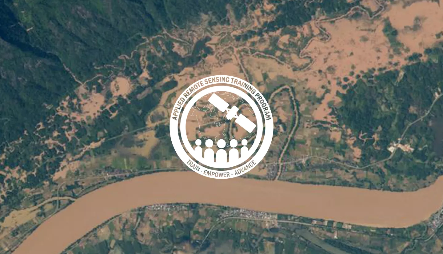
This training introduces remote sensing resources available for monitoring extreme precipitation and flooding as well as flood mapping tools for flood management and planning.
Individuals in local, regional, state, federal, and international organizations, NGOs, and other applied professionals interested in flood management.
- Four 1-hour sessions
An overview of the ARSET program, advantages of remote sensing observations, fundamentals of remote sensing and an overview of remote sensing observations for flood monitoring and flood monitoring tools. View the Recording
An overview of TRMM and GPM and TRMM-based flood tools. View the Recording
An overview of SERVIR: 'Connecting Space to Village,' an overview of MODIS near real-time global flood mapping, Dartmouth Flood Observatory, and a demonstration of MODIS NRT. View the Recording
Applying remote sensing for improved flood management, a demonstration of select flood cases using multiple web-based tools and GIS, and a course summary. View the Recording »


