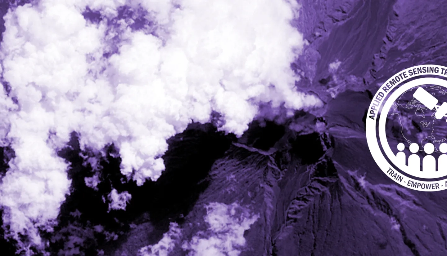
Satellite imagery is important for providing context and an overview for any air quality event. It is unmatched in its ability to provide us with qualitative information. A series of images can be very effective in providing information on transport of aerosols, however, imagery is very limited in its ability to give us quantitative information.
True and False Color Imagery
A digital color image is a composite of three different color channels, “red”, “green” and “blue”. Most of the time when we talk about imagery we are referring to “True Color Imagery”. True Color Imagery uses a combination of satellite bands to produce images which mimic how the world appear to the human eye. For a more detailed explanation as well as a tutorial on how to create true color images see the FAQ from NASA’s Rapid Response Site under “How do I make true-color MODIS images?”
“False Color Images” use a combination of satellite bands to produce images which enhance a selected set of features, for instance fires, burn scars, ice and/or clouds. For a more detailed explanation and examples see the Rapid Response Site FAQ answer to: “What do the different band combinations mean?
Image Maps
When we want to make an image representing values of data related to specific geographic locations we use color mapping. In this case we select a color scale and assign a color to each point or pixel of data based on its value. Depending on the range of values we need to represent, color scales may be linear or logarithmic. Most often we assign the color at the high end of our selected scale to the maximum value in our data set and the color at the low end of the scale to the minimum value of the data. There may be times where we wish to emphasize and/or have greater sensitivity to the values in a particular part of the data set. For example if we have aerosol data ranging from 0.1 to 2.0 AOD but we are mostly interested in the low AOD areas we might assign the color at the high end of our scale to an AOD of 1.0. This means our image will have greater sensitivity to low values since we have a broader range of colors to use when representing values between 0.1 and 1.0. At the same time our image will have no sensitivity to values above 1.0 since they will all appear as the same color.
Satellite images and product image maps are available from many sources and at many resolutions. Some of these sources are redundant and there is not necessarily a “best” source. Users should focus on finding the sources that are the most appropriate to their needs.
For a more complete introduction to satellite imagery, including a description of the various sites where imagery can be obtained, please see the "Satellite Imagery Guide" in the presentations section. A brief list of links to several useful sites is provided below.
Quick Links to Satellite Imagery
| Site | Type of Images Available | Coverage / Image Sizes | Image Formats Available |
| MODIS Rapid Response | True and False Color Images (2002 - present) |
Granule Images (not reprojected)* | JPEG |
| MODIS - Atmos | True Color Images (2000 - present) |
Granule Images (geographic reprojection)* | JPG |
| MODIS Today | True and False Color Images (2007 - Present) | Continental U.S. U.S. Composite U.S. Region Composites (250 m – 2 km) | KML (continent only), GIS, JPG |
| NASA Earth Observations | True and False Color Images Many satellite product images 2000 - present | Global Images | KML, GeoTiff, PNG, JPEG |
| NASA Worldview | True color images Overlays of many products | Global Images – interactive tool with zoom options | Save image from screen or generate KML |
| LADSWEB Global Browse | True color images Images of many products | Global composites (level 3 products) | Save image from screen |
| LADSWEB Granule Browse | True color images Images of many products | Granule Images – global composites | Save image from screen |
For quick links to trace gas images for NO2, SO2 and CO, see our page on Trace Gas Products.
Reference Materials:
- Satellite Imagery Guide - doc, 1.5 MB: An overview guide to satellite imagery including a discussion and links to sites with images.
- Quick Links to Satellite Imagery - doc, 42 KB: Links to several sites for obtaining satellite imagery with a brief description of each site in table form.
- Satellite Imagery Overview - ppt, 13.2 MB: An overview of satellite imagery including illustrations of some of the most useful sites.