Description
Small island nations are highly vulnerable to climate change and natural disasters; among them hurricanes, cyclones, and other violent storms. These disasters can lead to severe flooding, landslides, and, in the worst cases, can result in the loss of life and property. In addition, a rise in the global mean sea level places island nations at a higher risk for permanent submersion of land, coastal erosion, coastal ecosystem loss or change, salinization, and impeded drainage.
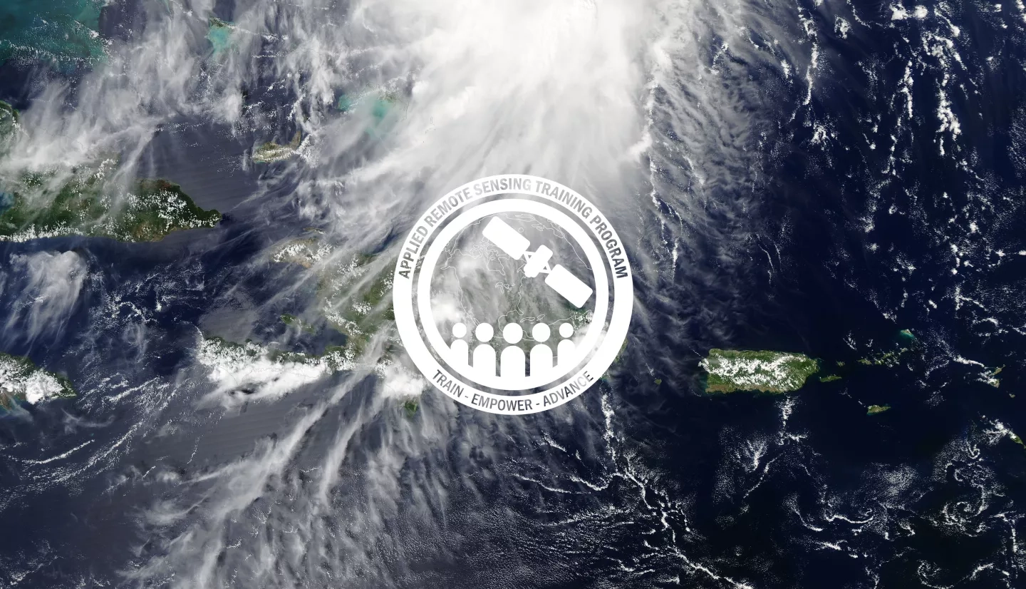
This three-part training series will focus on small island nations while introducing the data, methods, and tools useful for monitoring natural hazards. Case studies will be used to demonstrate methodologies applying satellite and model data and open access tools to analyze storm impacts, sea level rise, and landslides on small island nations. This training is offered by NASA ARSET in collaboration with:
After participating in this training, attendees should be able to:
- Recognize the applications of passive and active remote sensing for flooding, landslides, and sea level rise
- Perform an analysis pre- and post-storm event for a region of interest
- Assess the landslide hazard for a region of interest prior to and during an event
- Interpret satellite-derived products for characterizing sea level rise on a regional scale
This training is primarily intended for local, regional, state, federal, and international organizations involved in pre, during, or post disaster assessment in small island nations.
- Three 2-hour parts
- Each part will be offered at two different times of day, once in English and once in Spanish.
- Time: 11:00 to 13:00 ET (English) and 15:00 to 17:00 ET (Spanish)
- Dates: August 18, 24, 26
- Those who attend all three live sessions and complete the homework will be awarded a certificate of attendance.
- Presentation slides, recordings, homework, and Q&A transcripts will all be posted on this page as they become available.
Speakers: Erika Podest, Sean McCartney, Amita Mehta
Guest Speaker: John Englander - Executive Director of the Caribbean Center for Rising Seas
This session will provide an overview of disasters related to storms, flooding, tides, and sea level rise, and their impacts in small island nations (local perspective will be provided for the Caribbean). It will also cover the use of optical and radar data to assess pre- and post-storm conditions in the Caribbean. An end-to-end case study will be presented using GEE to show pre- and post-storm conditions. In addition, population density, infrastructure, and land cover maps will be used to identify areas most impacted by storm events.
Optional For Part 1: Although NOT A PREREQUISITE, in Part 1 there will be a demonstration using Google Earth Engine (GEE). If you wish to follow along with this demo, before Part 1, participants should Have or Create:
- A GEE account by visiting the new Earth Engine account sign up page.
We will have the recording of this demonstration available within 48 hours after the presentation for you to go through at your own pace.
Materials:
Guest Speaker: Dr. Ben Hamlington - JPL
Satellite measurements coupled with in situ observations allow for the comprehensive study and improved understanding of the diverse set of drivers that lead to variations in sea level in space and time. This session will describe how satellite data, including altimetry and the Earth’s gravity field, can show how melting ice sheets and glaciers, changes in land water storage, steric sea level, tides, storm surges, and ocean waves all contribute to global sea level rise. In addition, it will also describe the datasets and tools available to better understand and monitor sea level change at regional and local scales.
This session includes a demonstration of the NASA Sea Level Change Data Analysis Tool (DAT) for quick-look comparisons and analysis of NASA datasets of sea level change.
Materials:
Guest Speaker: Thomas Stanley - NASA Goddard
The Integrated Multi-satellitE Retrievals for GPM (IMERG) algorithm combines information from the GPM satellite constellation to estimate precipitation over the majority of the Earth's surface in near real-time. This session will describe how IMERG and other data are used before and during storm events to predict landslides on small island nations. The session will cover the disaster life cycle in context of landslides and provide an overview of NASA activities and tools used to assess landslide hazards on small island nations.
Materials:


