Description
January 19, 26, & February 2, 2021
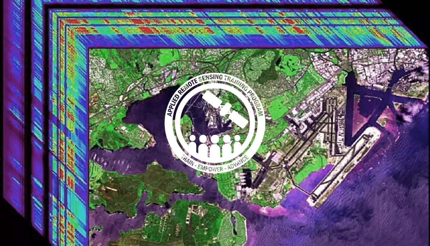
Hyperspectral data presents a unique opportunity to characterize specific vegetation types and biogeochemical processes across the land and oceans. Applications of hyperspectral data include plant species identification, invasive species management, assessment of phytoplankton functional types, mapping of wetlands and shallow benthic communities, and detection of harmful algal blooms (HABs). The ability of hyperspectral data to characterize chemical, physiological, and morphological traits allows decision-makers to better understand critical components of ecosystem dynamics such as invasive species encroachment, forest decline and pest infestation, and ocean dynamics. This training is also an opportunity to build capacity in a large user community prior to the launch of the highly anticipated global hyperspectral SBG mission.
By the end of this training, attendees will be able to:
- Identify characteristics of hyperspectral data including benefits and limitations for land and coastal systems
- Recall various satellite and airborne-based hyperspectral imagers
- Relate past hyperspectral campaigns to future missions
- Access hyperspectral data from multiple platforms
- Illustrate uses of hyperspectral data for land assessments such as invasive species management, agricultural management, wildfire impacts, forest decline and pest infestation, and more
- Illustrate uses of hyperspectral data for coastal and ocean applications such as coral reef assessments, mapping submerged aquatic vegetation, and identifying marine debris
Local, regional, state, federal, and non-governmental organizations involved in invasive species management, forest monitoring, coastal and ocean processes, and innovative remote sensing techniques.
- Three 90-minute sessions
- One homework assignment via Google Forms
- Introduction to hyperspectral data
- Satellite and airborne-based hyperspectral imagers
- Assessing and processing hyperspectral data
- Q&A
Materials:
Materiales en Español:
- Applications of hyperspectral data for invasive species management, agricultural management, wildfire impacts, and forest decline and pest infestation
- Case study examples
- Q&A
Materials:
Materiales en Español:
- Use of hyperspectral imaging for wetland vegetation communities
- Use of hyperspectral for coastal shallow-water ecosystems
- Use of hyperspectral for marine debris
- Case study examples
- Q&A
Materials:
Materiales en Español:


