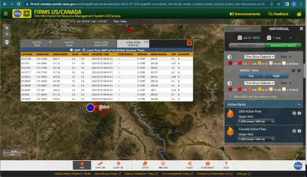
Imagen Screenshot of NASA’s FIRMS US/Canada Fire Map application showing the attributes of ultra real-time active fires, derived from NOAA-20 VIIRS, at the Moose Fire, Idaho, July 21, 2022. Credits: NASA LANCE FIRMS US/Canada