Updated July 19, 2021.
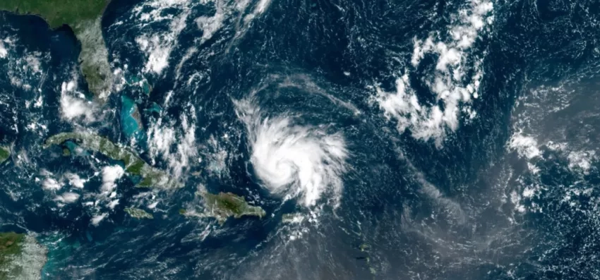
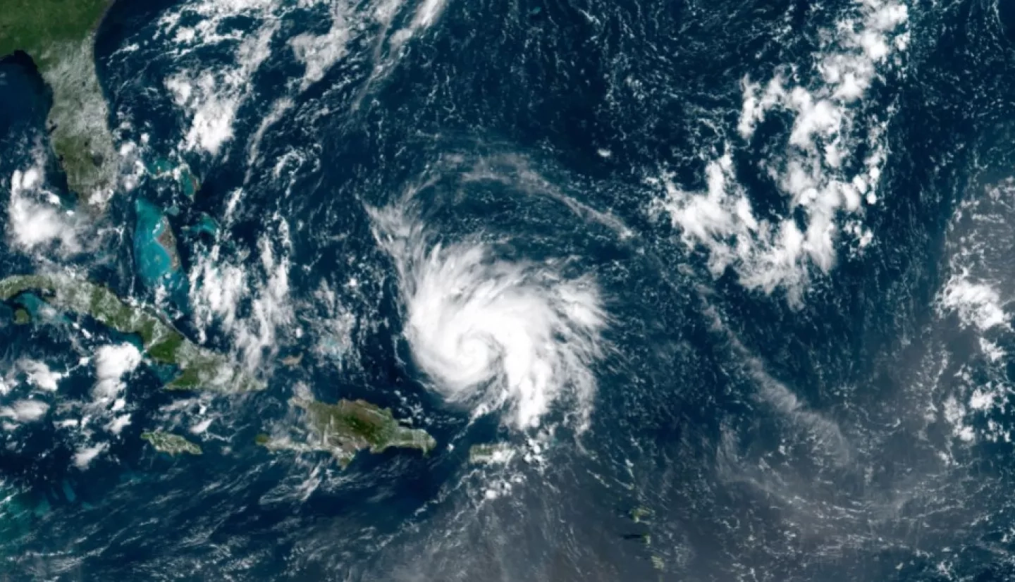
The Caribbean islands exist in a region of heightened tectonic and tropical cyclone activity, making the area particularly at risk to the impacts of natural hazards. Volcanoes, floods, earthquakes and hurricanes, are only a few examples of the threats that the Caribbean faces every year. As a result, vulnerable Caribbean communities need tools for disaster readiness more than ever before. “A multi-hazard approach [to disaster risk management] is needed, supported by relevant, reliable and current geospatial information, tools and technologies that geo-enable countries, especially developing states, into necessary action,” explains Simone Lloyd, Jamaica Focal Point, UN-GGIM: Americas CARIGEO Steering Committee and Jamaica Co-Chair Support, UN-GGIM WG Disasters. To fulfill this need, the NASA Disasters program has teamed up with the Caribbean Geospatial Development Initiative (CARIGEO) and the Environmental Systems Research Institute (Esri) to share Earth-observing Geographic Information Systems (GIS) products for disaster response through the Caribbean GeoPortal.
The Caribbean GeoPortal is an open online mapping tool that brings modern geospatial information technology and resources to the people of the Caribbean region. With this tool, any user can leverage configurable templates, solutions, and mobile applications to build new applications without writing code. Users can also create interactive web maps to combine their own data with discovered data, and access learning resources to strengthen their mapping skills and help contribute to the GIS community. By assembling authoritative data from multiple sources, configurable applications, and analytical tools in an easy-to-use platform, the Caribbean GeoPortal contributes to improved problem solving and fact-based decision-making among Caribbean communities.
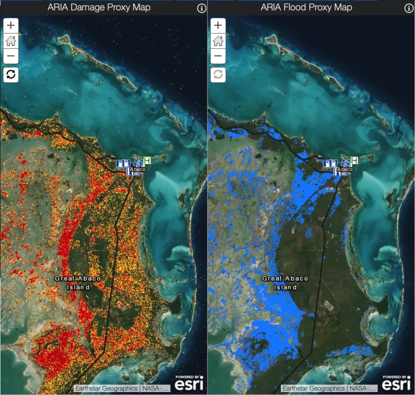
“Collaborations and partnerships are integral at all phases of disaster risk management, including capacity building and awareness-raising initiatives,” says Lloyd. The recent collaboration with NASA has resulted in the integration of several products into the Caribbean GeoPortal. Examples include GPM IMERG precipitation accumulations, which can aid in situational awareness for extreme weather events and the new Black Marble Nighttime Blue / Yellow Composite product, which can help detect power outages in the wake of disasters.
Click here to view more NASA products on the Caribbean GeoPortal.
Through domestic and international partnerships, the NASA Disasters program seeks to enable resilient communities in advance of disasters and use Earth-observing data to aid decision-making when disasters strike. The collaboration between CARIGEO, Esri and the NASA Disasters program will further this goal and increase awareness and engagement with NASA data while putting resources and information into the hands of those who need them the most.
“We cannot underestimate the vulnerabilities of our systems, infrastructure, people and our economies to various potential hazards,” says Michelle Edwards, Jamaica Co-Chair, United Nations Global Geospatial Information Management (UN-GGIM) Working Group on Geospatial Information and Services for Disasters (WG Disasters). “As member states, our experiences and contributions, and [to a greater extent] our lessons learned are very critical to shaping this global space of knowledge on how geospatial data and associated technology can better aid our response efforts.” This publicly accessible platform will allow users to interact with NASA data, curated maps, and custom-built mapping applications relevant to the Caribbean region and access Earth-observing products from other agencies and countries to improve situational awareness. In doing so, the Caribbean GeoPortal partnership will enable communities to use reliable data for improved local problem solving. Best of all, it’s freely available for anyone to use.
Lloyd explained that CARIGEO, Esri, NASA and UN-GGIM WG Disasters recently (June 22, 2021) successfully collaborated in hosting the “CARIGEO Geoportal webinar #2: Using the Caribbean GeoPortal for Disaster Management and Response,” as an awareness-raising and educational initiative. This webinar focused on assisting Caribbean countries in first understanding, then supported their utilization of this major geospatial resource, towards being better prepared to take action for any hazard within the region. Stakeholders and potential users are invited to learn more about and utilize the Caribbean GeoPortal and NASA products available by viewing the webinar recording.

View NASA Disasters products on the Caribbean GeoPortal