
NASA Capacity Building Program Area at the Esri Federal GIS Conference
A showcase for U.S. federal agencies that use geographic information systems (GIS) technology occurred in February 2020 and the NASA Earth Applied Sciences Capacity Building program area was front and center.
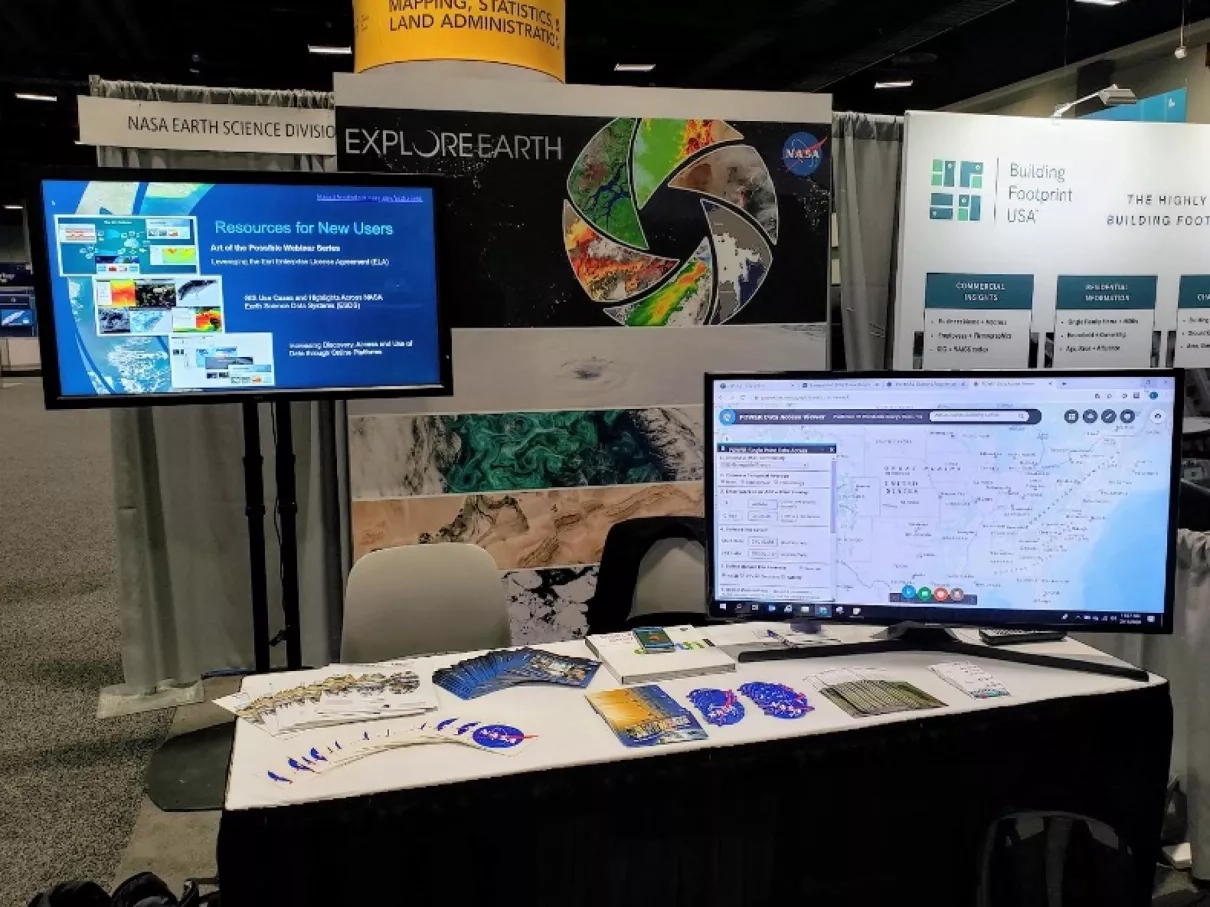
The Esri Federal GIS Conference in Washington, DC was likely the largest gathering of representatives from federal agencies that use GIS technology. Capacity Building representatives staffed a NASA booth during the event, where they answered a broad range of questions from attendees, provided information about NASA data and services, and provided a holistic picture of NASA Earth science activities.
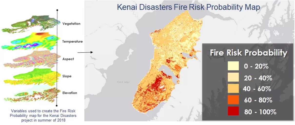
The pre-conference program, on February 10th, featured expert-led training for developers, leaders, university students and partners ahead of the conference. The conference's University Student Program was designed to showcase GIS work in exciting and impactful ways that provided a direct impact on the future of the country and our planet. During a workshop on data visualization at the University Student Program, Capacity Building DEVELOP program alumni, Kate Hess, presented her team’s work on a Kenai Disasters project from summer 2018. The project focused on grassland conversion and the likelihood of fire disturbance in the US Fish and Wildlife Service’s Kenai National Wildlife Refuge in Alaska with a goal of enhancing their monitoring efforts for fire risk probability.
The Esri conference opened on February 11th, with a plenary session that showcased the newest applications and tools from Esri in the morning, with professional development workshops in the afternoon. Participants from DEVELOP's Virginia-Langley location attended on the second day of the conference and viewed professional development workshops and words from keynote speakers, Healy Hamilton, chief scientist at the non-profit group NatureServe, and Vice Admiral Robert D. Sharp, director of the US Department of Defense's National Geospatial-Intelligence Agency.

Participants learned more about Esri products, engaged with organizations, and increased their awareness of industries involved in Earth science research and applications.
The 2021 Esri Fed GIS conference isn't on the scheduled as of yet, but organizers say they plan to release details later this year.


