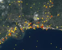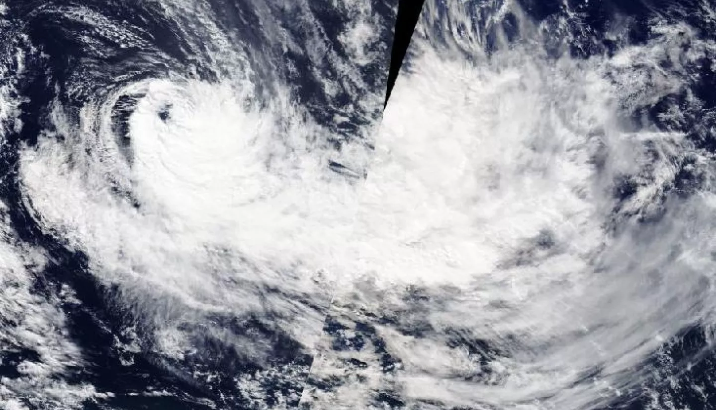
Tropical Cyclone Harold developed from a low pressure system that was observed to the east of Papua New Guinea, and tracked to the southeast where it peaked as a Category 5 cyclone on April 6th, 2020. The cyclone brought destructive high winds and extreme rainfall to the Solomon Islands, Vanuatu, Fiji, and Tonga.
The NASA Earth Applied Sciences Program has activated to Tier 1 response for Cyclone Harold and is monitoring the situation to determine what NASA resources and capabilities may be available to support response and recovery for the event. The Disasters Program is working with stakeholders including the World Food Programme (WFP), the U.S. Department of State (DOS), and the International Federation of Red Cross and Red Crescent Societies (IFRC). As of April 14th, 2020, the NASA Advanced Rapid Imaging and Analysis (ARIA) project has produced several Damage Proxy Maps (DPMs) and a Flood Proxy Map (FPM) for the affected regions and provided them to the WFP. The products have also been shared in GIS format on the NASA Disasters Mapping Portal.