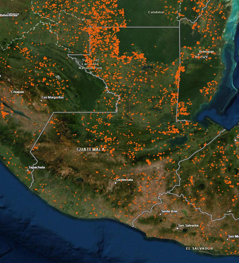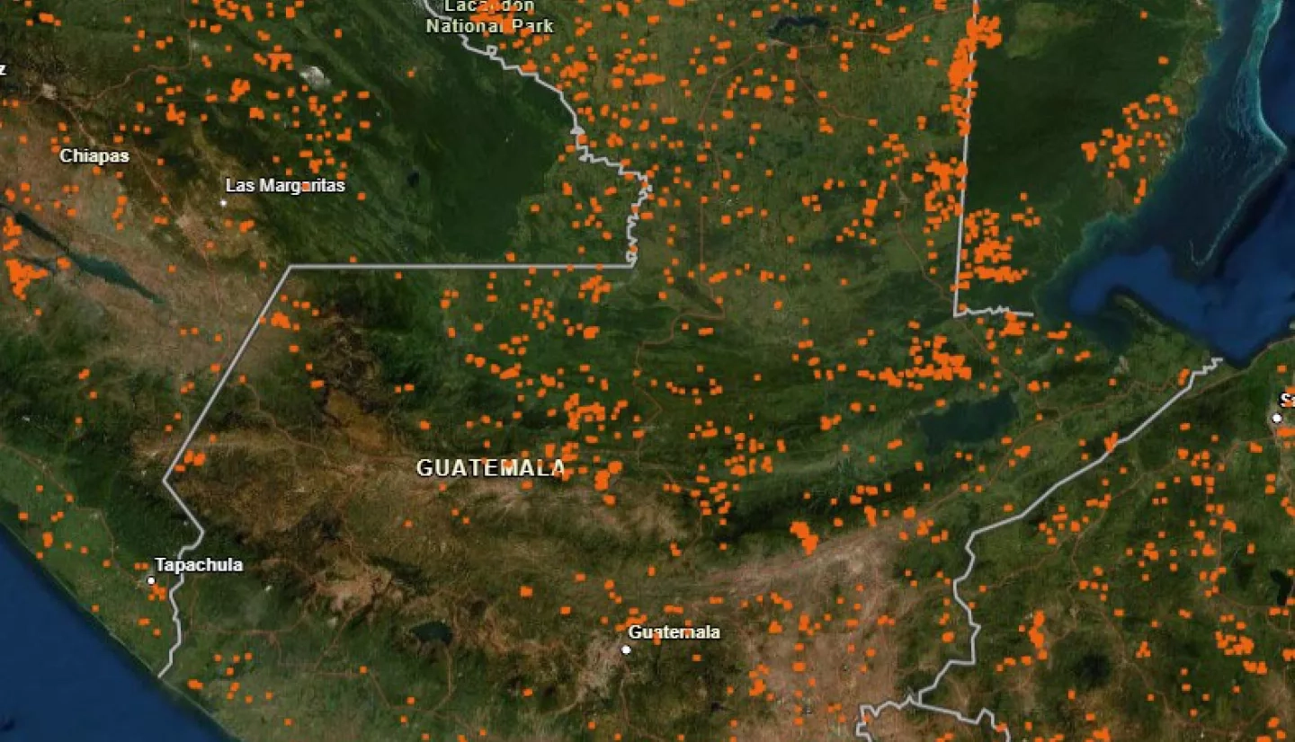
The International Disasters Charter has been activated for fires in Guatemala, which have affected approximately 450 square kilometers to date, particularly in the states of Jalapa and Peten. Many of these fires are in the Maya Biosphere Reserve, an important ecological region that contains some of the last forest reserves left in Guatemala. The Tikal and Mirador ruins, important historical sites, are also close to the fire zones
The NASA Earth Applied Sciences Disasters Program has activated to Tier 1 in support of the Guatemala fires and is monitoring the situation to determine what NASA resources and capabilities may be available to support response and recovery for the event. The Disasters Program is working with stakeholders from the Guatemalan National Coordinating Agency for Disaster Reduction (CONRED) and is current examining impacts related to air quality, burn severity, fire perimeter, forest cover, and potential populations affected by the fires.