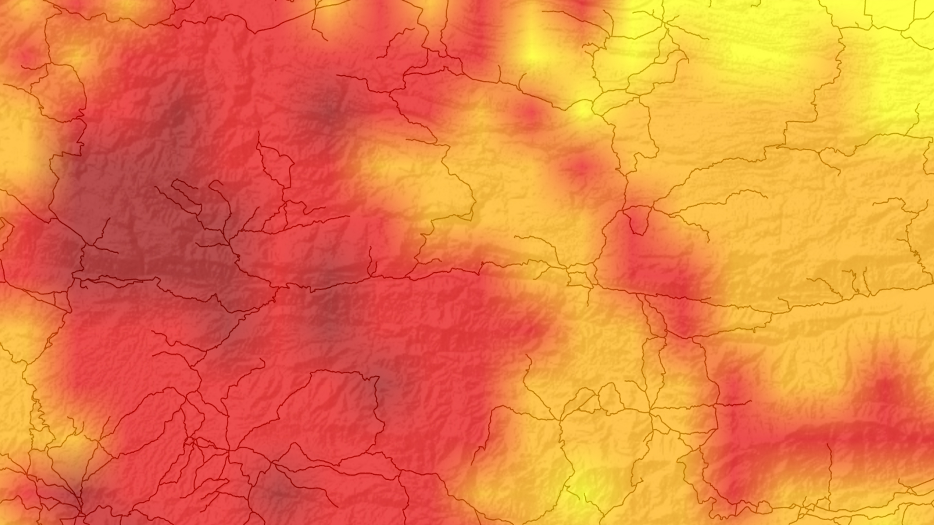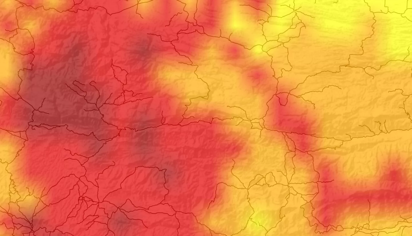
The dry corridor resides primarily in the pacific region of Central America, which experiences severe drought during the El Niño Southern Oscillation cycle. El Niño causes severe climate variances in Central America that impact agriculture, livelihoods, and hydrological cycles. The region is rich with cash crops, including bananas, plantains, corn, sugar, and coffee, that are at risk during El Niño events. The region is also home to many subsistence farmers who rely on rainfed agriculture. These climate anomalies can lead to loss of livelihood and regional food insecurity. The team used remote sensing data from Global Precipitation Measurement (GPM) mission Integrated Multi-satellite Retrievals for GPM (IMERG) and Terra Moderate Resolution Imaging Spectroradiometer (MODIS) to generate Normalized Difference Vegetation Index and Standard Precipitation Index data to identify regions that have been negatively impacted by past El Niño events in the dry corridor of Guatemala, Honduras, and Nicaragua. The project identified the historic areas of socioeconomic vulnerability during the onset of El Niño related drought. Team members worked with Universidad del Valle de Guatemala to provide information regarding regional drought to the Nicaragua Ministry of Agriculture and Forestry and the Honduran Ministry of Agriculture and Livestock. The project concluded that there is an increase in the area of severe and extreme drought during El Niño events in the Central American dry corridor, and the team provided time series maps that visually demonstrated the progression of drought in the region.


