Imagen

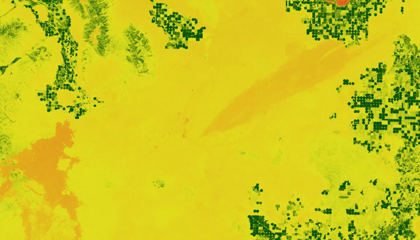
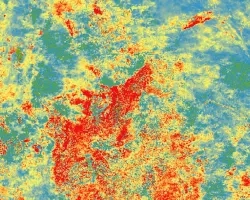
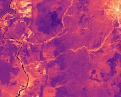
Wildfire is a key driver of ecosystem progression in the sagebrush steppe-dominated landscapes of southern Idaho. Fire-related disturbances can facilitate the propagation of invasive vegetation, threatening native wildlife and shaping a fire regime that is increasingly hazardous to adjacent urban development. Applying the methodology created by a previous DEVELOP term to characterize the 2006 Crystal fire, we worked to identify correlations between climatic and geophysical conditions and effective recovery of sagebrush-steppe cover across multiple recent fires (Jefferson, Henry's Creek, Soda) in southern Idaho. Our research integrated high-resolution imagery from NASA's Landsat 5 Thematic Mapper (TM) and Landsat 8 Operational Land Manager (OLI). In addition, ForWarn spatial phenology products derived from the Terra and Aqua satellite's Moderate Resolution Imaging Spectroradiometer (MODIS) sensor were used to investigate temporal variations. We used pre- and post- wildfire trends in normalized difference vegetation index (NDVI) and differenced normalized burn ratio (dNBR) values as metrics for recovery in a multiple regression analysis paired with historic climate and fire data. With a refined understanding of how disturbance alters long-term land cover progression and future fire regimes of semiarid landscapes, land management agencies can be better equipped to protect keystone species from habitat loss and minimize the threat posed to urban areas.