Western Tennessee Water Resources (Fall 2022)
Team: Lauren Webster (Project Lead), Elena Pilch, Michael Pazmino, Katera Lee
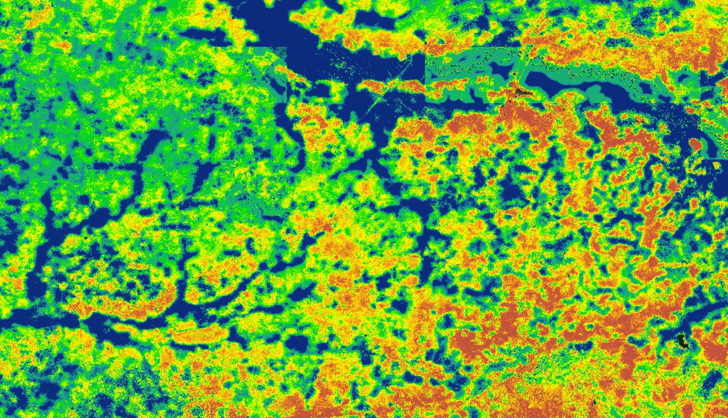
Summary: The Memphis Aquifer (MA) is located in the Mississippi Embayment that extends 250,000 square kilometers across nine states. Fayette and Haywood counties in West Tennessee are situated within the recharge zone of the MA. They include the forthcoming Ford “mega campus” named Blue Oval City (BOC), consisting of a vehicle-production facility and battery assembly division. Increased water demand and land cover change resulting from urban development, such as BOC in the MA’s narrow recharge zone, threaten the aquifer’s groundwater storage and recharge rate. Groundwater recharge factors that influence the narrow recharge zone of the MA include precipitation, evapotranspiration, runoff, and land cover type. In partnership with Protect Our Aquifer (POA) and the Center for Applied Earth Science and Engineering Research (CAESAR) at the University of Memphis, the team used data from the ECOsystem Spaceborne Thermal Radiometer Experiment on Space Station (ECOSTRESS), Integrated Multi-Satellite Retrievals for Global Precipitation Measurement (GPM IMERG), and Landsat 8 Operational Land Imager (OLI) and Thermal Infrared Sensor (TIRS). The team also used ancillary data from the National Land Cover Database (NLCD) and the North American Land Data Assimilation System (NLDAS) Noah Land Surface Model. These results identified “thriving” recharge locations, which are areas most conducive to aquifer recharge in Fayette County. The partners may use the results to prioritize specific areas needing protection before becoming susceptible to urbanization and industrialization.