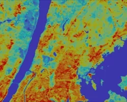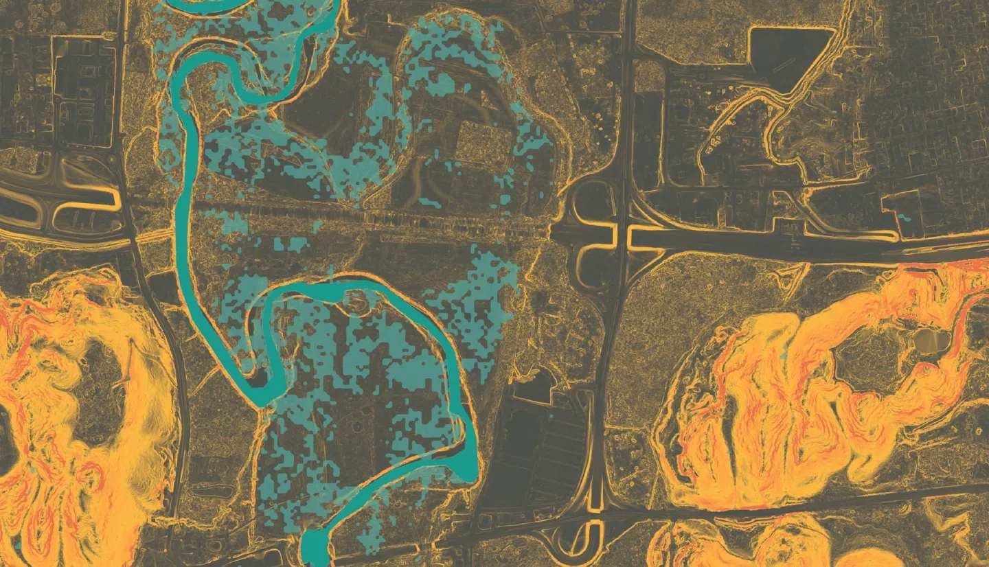
Toa Baja, located just west of San Juan in Puerto Rico, is known as “the underwater city” due to its propensity to flood. The city contains the mouth of the island’s longest river, Río de la Plata, which drains into the Atlantic Ocean on the northern edge of the municipality. Proximity to these major water features and the flat, low terrain contribute to the flood-prone nature of the area. During tropical storm events, such as Hurricane Maria in 2017, Toa Baja experienced inundation of up to 20 feet. Changes in the global climate system are causing more intense and frequent tropical storms, making places like Toa Baja subject to irreparable damage. This NASA DEVELOP project collaborated with the Municipio Autonómo de Toa Baja, ResilientSEE, and the Massachusetts Institute of Technology Urban Risk Lab to supplement recent 2018 Federal Emergency Management Agency Hydraulic Engineering Centers-River Analysis System flood maps, which designated 63% of the area as a flood plain. The analysis provides a high-resolution interpretation of flood susceptibility using a variety of factors that collectively influence the likelihood of flooding. Sentinel-1 C-Band Synthetic Aperture Radar (C-SAR) data processed with Google Earth Engine scripting identified historical inundation and was used for validation purposes. Socioeconomic factors were combined with the inundation layer producing a final risk output. These outputs will improve public understanding of exposure to flood risk in Toa Baja and provide scientific evidence for flood mitigation advocacy.
Related Impact