Team: Melanie Pearson (Emory University), Christine Ekenga (Emory University), Yang Liu (Emory University), Ethan Li (Emory University), Erin Lebow-Skelley (Emory University), Alina Merceron (Emory University), Howard Chang (Emory University), Garry Harris (Center for Sustainable Communities)
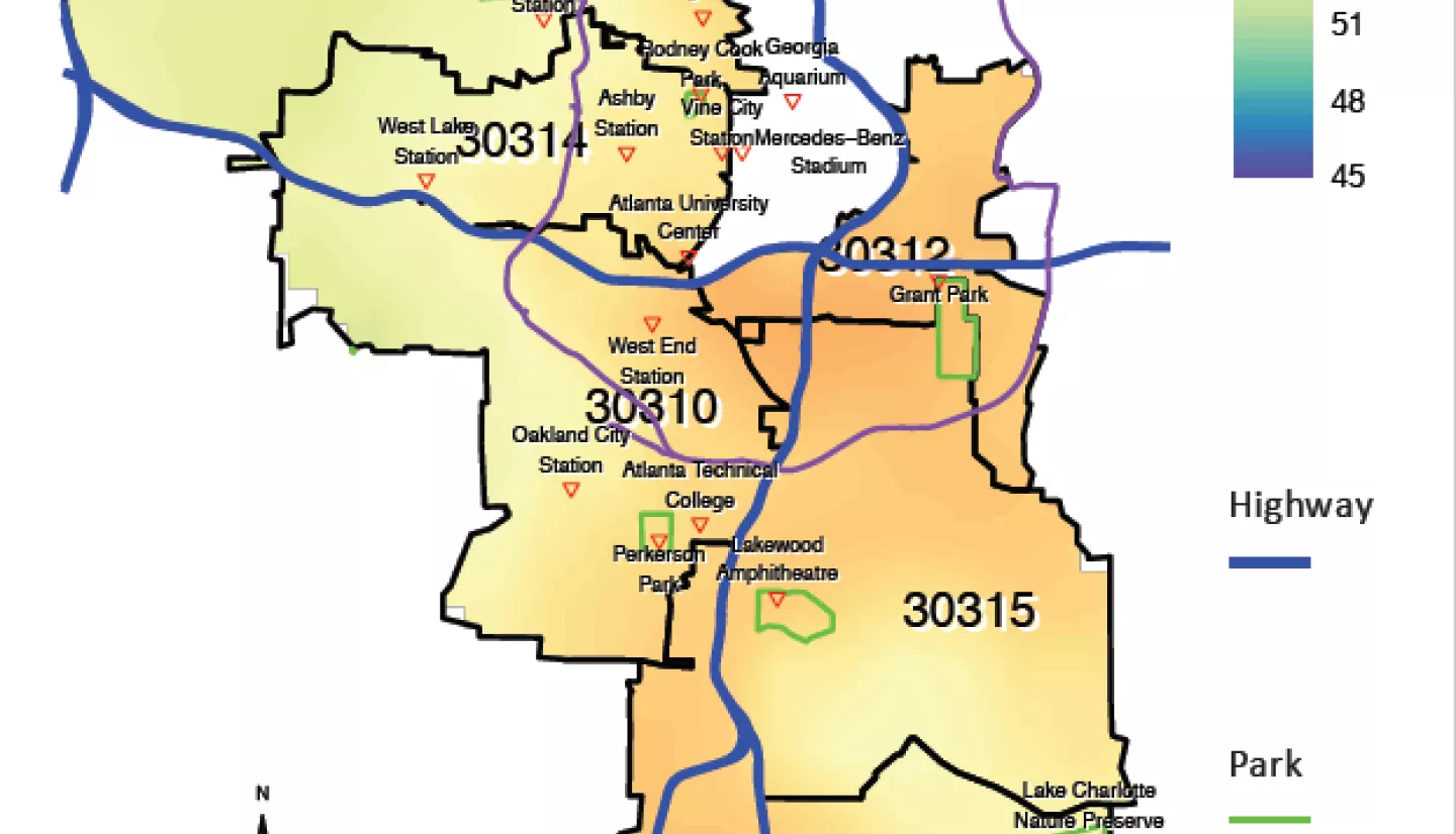
Summary: Low-income and minority communities have been facing a much higher health risk resulting from disproportionately distributed environmental exposure and increased vulnerability to climate change. In Atlanta, Georgia, many communities face serious environmental justice (EJ) issues such as having higher levels of exposure to extreme heat, air pollution, and the lack of green space. Race has been reported as a strong determinant of exposure to ambient air pollution and extreme heat that are established risk factors for adverse health outcomes including cancer, heat stroke, cardiovascular and respiratory diseases, and premature death. Exposure assessment is often the first step to promote public health facing those environmental exposures. Historically, public health agencies have relied on ground monitors and weather stations to estimate population-level exposures. However, the lack of ground monitoring sites in EJ communities presents a challenge for decision-makers to assess the health burdens of associated exposures. Satellite observations can effectively extend ground monitoring networks to produce full-coverage exposure estimates that provide required information to advance progress in EJ.
Our project aims to assess the feasibility of using NASA Earth Observations to support science education and decision-making in Metro Atlanta’s EJ communities. In close collaboration with our local partners and stakeholders, we assessed major environmental risk factors faced by underserved communities with satellite data; enhanced community stakeholders’ knowledge on health effects of environmental exposures and build their awareness of NASA data and other EJ tools; and supported local community toward advancing EJ with the help of high-resolution data products and education materials. Our research leverages the strengths of Earth Observations for estimating and distinguishing various environmental exposures with expanded spatial and temporal coverage. The project also exploits synergies of Earth science information, geospatial, and socioeconomic information to support local community decisions to mitigate EJ concerns and issues.