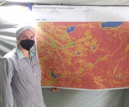
Imagen Jenessa Stemke with one of the maps produced by the GIS team. This map indicates potential control locations for the Windigo Fire. Credits: NASA/Bryce Foster