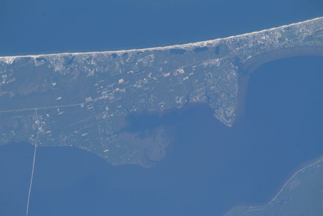
Astronauts aboard the International Space Station took a collection of visible-wavelength (RGB) digital camera images on October 17, 2018. RGB, or Red, Green and Blue imagery helps to visually identify areas that have been damaged during a natural hazard. These images were then manually georeferenced by members of the Earth Science and Remote Sensing Unit at NASA Johnson Space Center.The images provide regional context, and may be useful for visualization of Hurricane Michael’s impacts. Higher spatial resolution images may be suitable for spatial analysis to support decision making or research applications, such as identifying changes to infrastructure (roads and bridges) as a result of a severe storm event, or changes in forest cover due to landslides or wildfires.