The Fire Information for Resource Management System (FIRMS), supported by NASA’s Land, Atmosphere Near Real-time Capability for EOS’s (LANCE), is a powerful tool that helps disaster managers track fire activity, position, perimeter, smoke direction, and other information critical to fire response and recovery. FIRMs distributes near real-time active fire data within three hours of a satellite observation, using data from the Moderate Resolution Imaging Spectroradiometer (MODIS) aboard NASA’s Aqua and Terra satellites, and the Visible Infrared Imaging Radiometer Suite (VIIRS) aboard the National Oceanic and Atmospheric Administration’s (NOAA) Suomi National Polar-orbiting Partnership (NPP) and NOAA 20 satellites.
Disaster coordinators from NASA’s Earth Applied Sciences Disasters Program have used FIRMS to aid risk reduction and response efforts for many disasters over the past several years, including 2018 Kilauea volcano eruption on Hawaii's Big Island, and the 2020 Western U.S. fires. The Disasters Program has also integrated FIRMS data into the NASA Disasters Mapping Portal, a online interface for viewing, analyzing, and downloading the latest near real-time and disaster specific products in Geographic Information Systems (GIS) format.
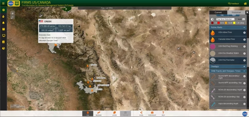
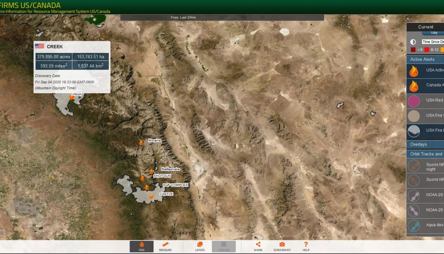
NASA’s LANCE FIRMS developers recently collaborated with the USDA Forest Service’s Geospatial Technology and Applications Center (GTAC) to create “FIRMS US/Canada,” a new and expanded version of FIRMS released earlier this year. FIRMS US/Canada, like FIRMS provides active fire data, generally within three hours of a satellite observation. Imagery is typically available within three to four hours and can be viewed on an interactive Fire Map application. In addition, FIRMS US/Canada meets the new Forest Service requirements by offering additional contextual layers and enhancements, including classifying fires to show time since detection to depict active fire fronts, incident locations and other information for current large fires in the US and Canada.
Read the full article on earthdata.nasa.gov: NASA, Forest Service Partnership Expands Active Fire Mapping Capabilities


