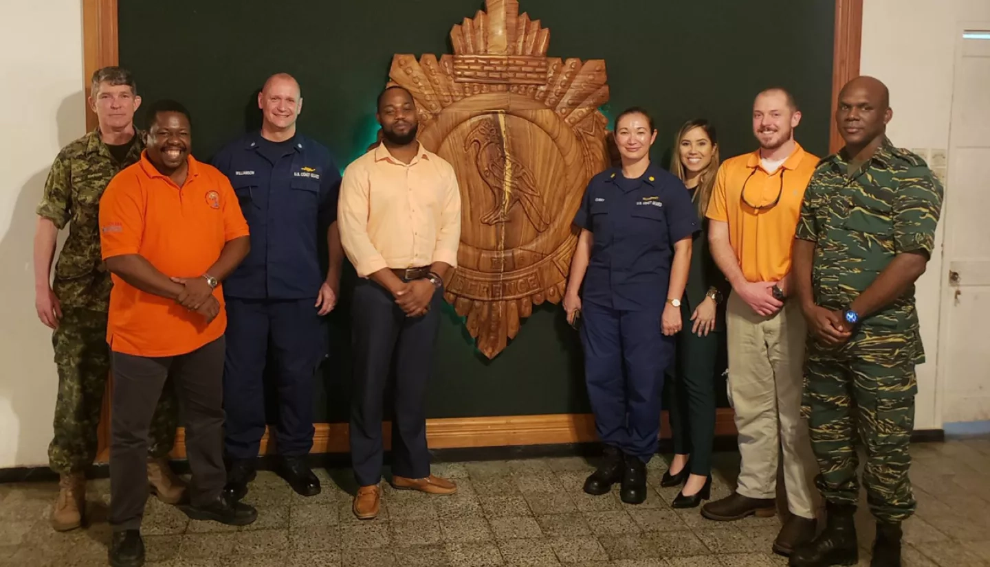
Members of the NASA Earth Applied Sciences Disasters Program recently participated in the Tradewinds 2020 Mid Planning Conference, a U.S. Southern Command-sponsored regionally oriented disasters management exercise that was conducted February 10th -14th 2020 in Georgetown, Guyana.
The Mid Planning Conference is one of several activities held in preparation for the Tradewinds 2020 Exercise Execution activity to be held June 10th – 14th, 2020. This year’s Tradewinds exercise will simulate both oil spills and flooding disaster scenarios in the host country of Guyana, and attendees will assist in executing Guyana’s National Oil Spill Contingency Plan. These exercises promote regional security cooperation by involving security forces and disaster response agencies from partner nations, primarily from the Caribbean Basin, U.S., Canada, France, the Netherlands, and the United Kingdom.
During the planning conference the NASA Disasters Program supported the host country Guyana by participating in their Request for Assistance Seminar. The Disasters Program provided technical assistance for the Oil Spill Functional Response Exercise in collaboration with NOAA and the NASA ROSES A.37 Oil Spill Research Project. The next Tradewinds 2020 activity, the Final Planning Conference, will take place March 30th – April 3rd and will include a flooding-focused tabletop exercise. The final Tradewinds 2020 Exercise Execution in June 2020 will be comprised of a full-scale oil spill exercise and a full-scale flood exercise. The NASA Disasters Program will collaborate with U.S. Southern Command, NOAA, and disaster management staff from the host country Guyana during those events by providing situational awareness and technical assistance via simulated remote sensing data for their chosen scenarios.


