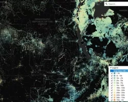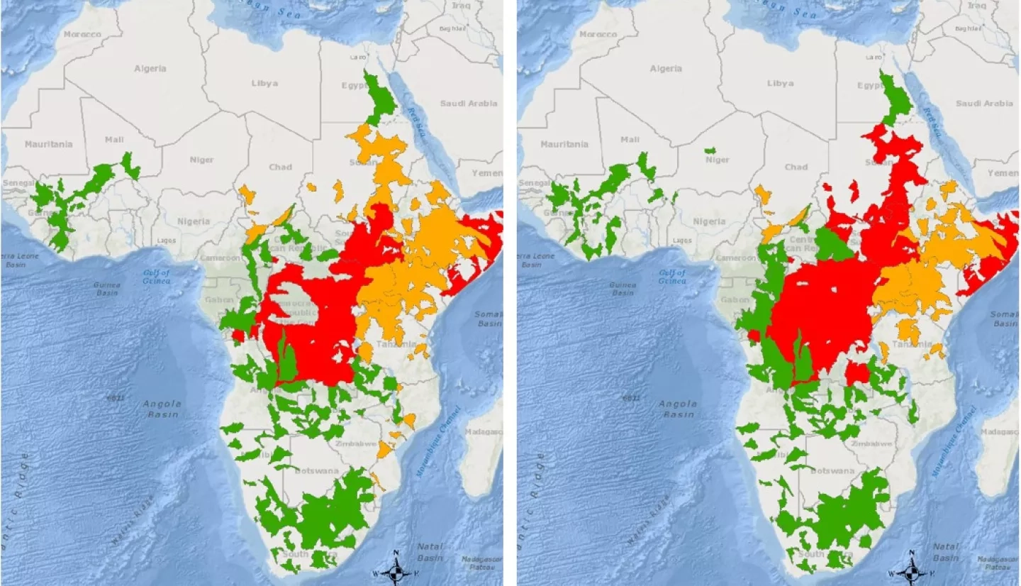
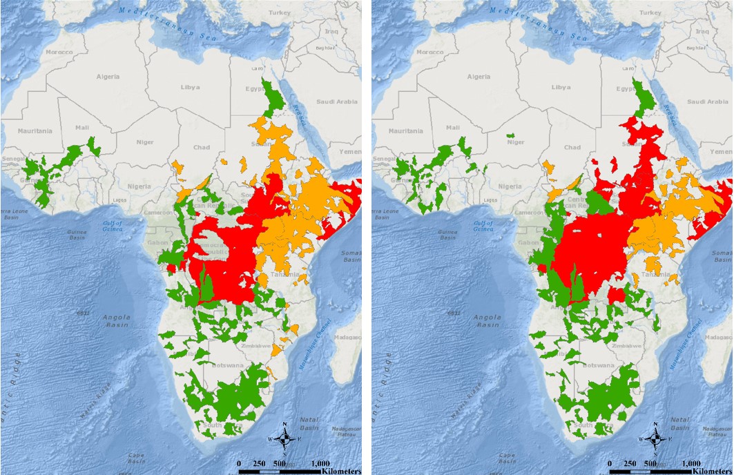
From March through May 2020 multiple countries in central and east Africa have continued to experience heavier and more widespread than usual rainfall in the “long-rains” season, leading to transboundary flooding and food insecurity. In recent weeks rising waters have impacted vulnerable settlements along riverbanks, with news reports indicating hundreds of people losing lives to overflowing rivers and mudslides and thousands of others displaced. Active monitoring for detection of flood risk and awareness of the ongoing extent and severity of impacts are necessary for stakeholders to act quickly and provide sustainable solutions. The communities experiencing the most severe flood conditions as of May 7th 2020 include those in the nations of Kenya, Somalia, Sudan, South Sudan, and the Democratic Republic of the Congo.
The NASA Earth Applied Sciences Disasters Program has activated to Tier 1 to support stakeholders in Africa with disaster risk reduction and resilience for the floods, including those in emergency management and food system security. The Disasters Program is monitoring the situation to determine how NASA resources, partnerships and capabilities may support response and recovery this flood season. Years of research and demonstration have proven that satellite remote sensing products can provide situational awareness and deliver actionable information to guide flood interventions.
The NASA Disasters ROSES A.37 Applied Science research project “Advancing Access to Global Flood Modeling and Alerting” is examining this regional flood event as a case study for testing the capabilities of their flood modeling and alerting system. The system combines model outputs from the Global Flood Monitoring System (GFMS) and the Global Flood Awareness System (GloFAS) with data on watershed risk using a novel risk function algorithm. Results are then validated using Synthetic Aperture Radar (SAR) data for flood inundation and depth, if available. This data is planned to be integrated into the Pacific Disaster Center (PDC) DisasterAWARE platform, which provides a source of global information on floods that is supported by a common, normalized data model.