Imagen
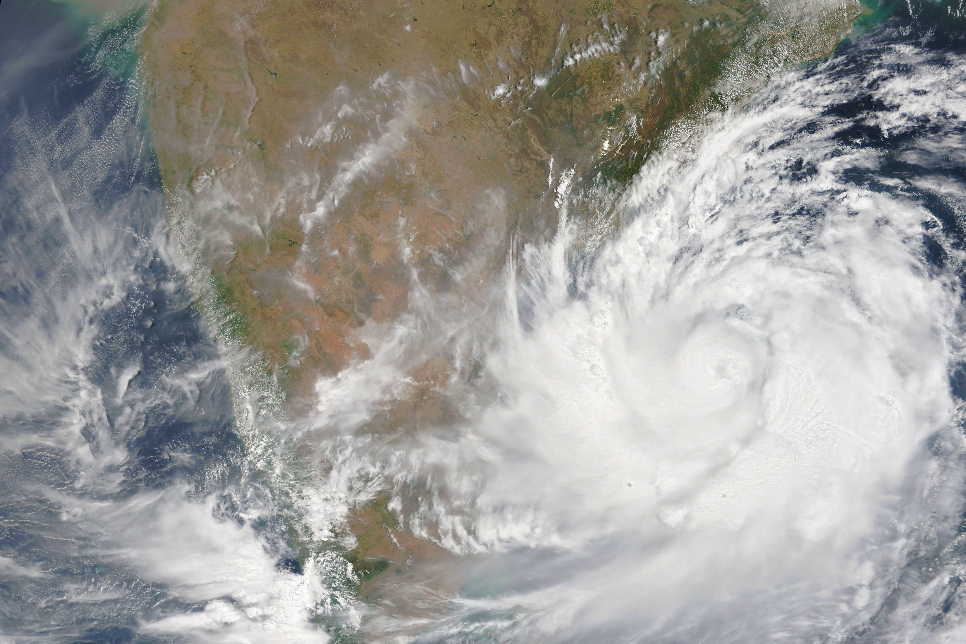
Tropical Storm Fani formed in the Northern Indian Ocean over the weekend of April 27 and 28.
The Joint Typhoon Warning Center noted, “Animated enhanced infrared satellite imagery reveals significant consolidation in the convective structure and a better idea of the location of the low level circulation center. There is high confidence in the initial position based on an eye feature in a microwave satellite image.”
At 11 a.m. EDT (1500 UTC), the center of Tropical Cyclone Fani had maximum sustained winds near 55 knots (63 mph/102 kph). Fani was located near latitude 10.5 degrees north and longitude 86.6 degrees east. That is about 420 nautical miles east-southeast of Chennai, India. Fani is moving to the northwest and is forecast to intensify to hurricane strength.
Fani is forecast to make landfall in northeastern India on May 3.