Start Date: July 10, 2023
Type: Floods
Region: North America – Vermont, U.S.A.
Info & Resources:
UPDATE JULY 14, 2023
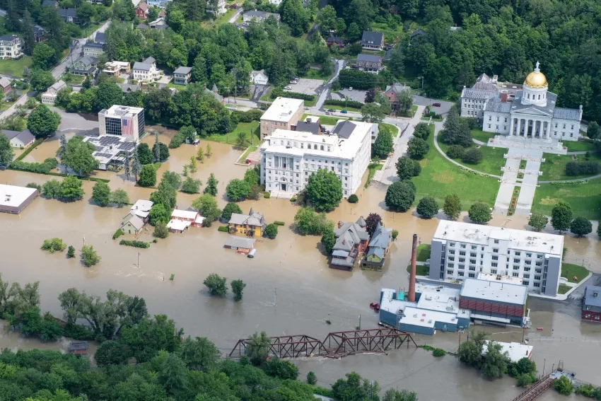
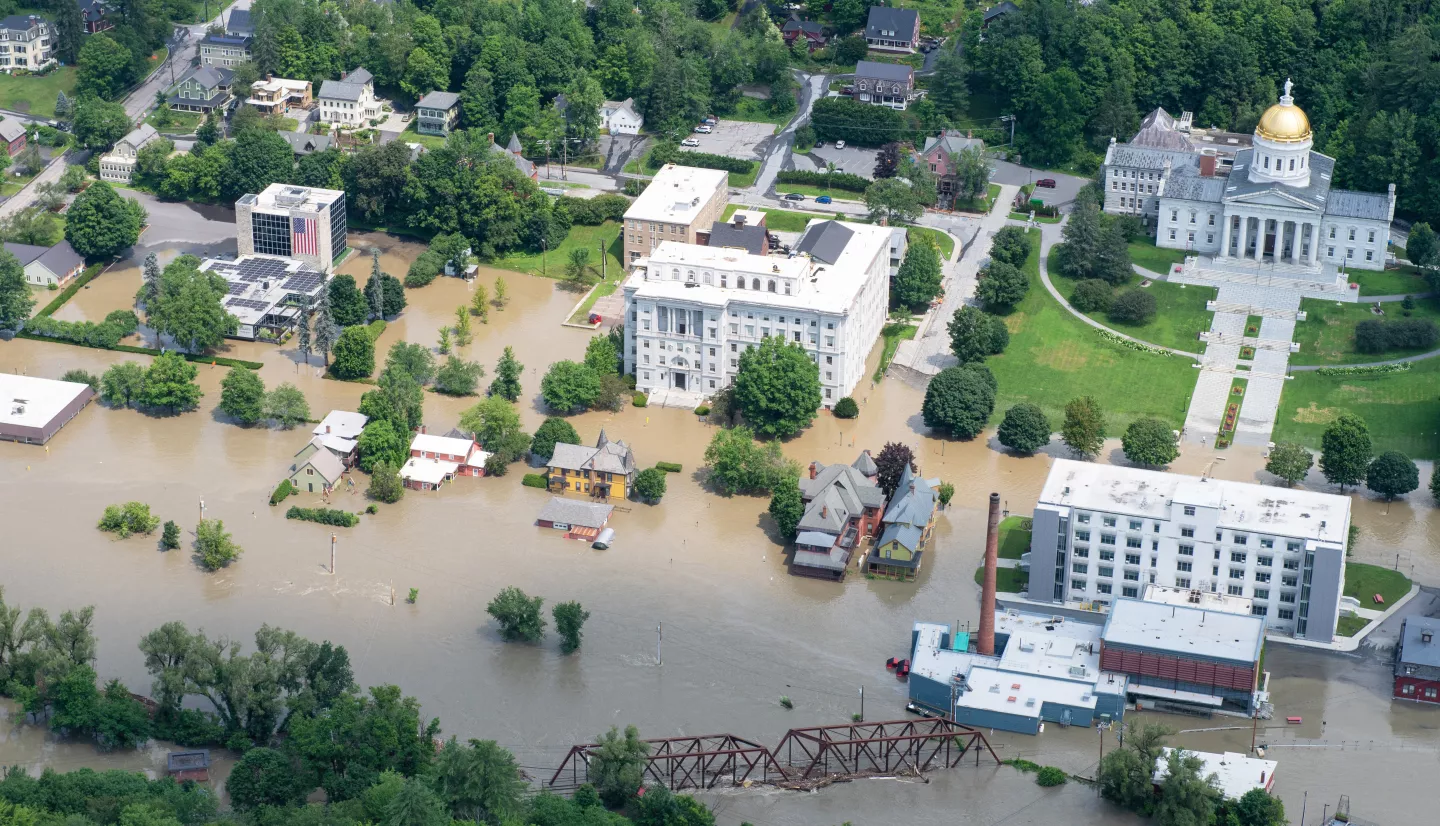
Residents of Vermont are grappling with catastrophic flooding caused by a storm system that dropped between 6 to 9 inches of rain in many areas throughout the state. The storm, which initially struck New York before moving to New England, resulted in severe flooding that shut down major roads and highways and prompted hundreds of evacuations. Two major rivers, the Winooski and the Lamoille, surpassed water level records set during 2011’s Hurricane Irene. Officials are still assessing the extent of the damage and warn of further rains in the forecast, which could exacerbate the situation due to the already saturated ground.
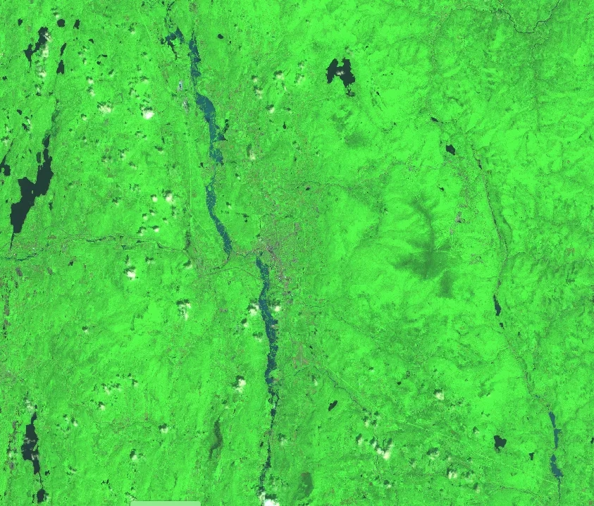
NASA’s Disasters program has activated to aid regional stakeholders’ response efforts and is working to share Earth observing data to identify the extent of the flood waters. The NASA Disasters team is currently working with FEMA HQ, FEMA Region 1, the Esri Disaster Response Program, and the University of Vermont, coordinating to provide access to products such as Sentinel 1 synthetic aperture radar (SAR)-derived flood extent maps, Sentinel 2 optical flood imagery, and VIIRS-based flood imagery. The Disasters team has also shared science products derived from high-resolution true color and infrared Planet Laps satellite imagery, enabled by NASA’s Commercial Smallsat Data Acquisition (CSDA) program. Maps are imagery are being shared on the NASA Disasters Mapping Portal.
The NASA Disasters team continues to monitor the situation and coordinate with stakeholders to provide support as the situation evolves.