Aconcagua Basin Agriculture (Summer 2023)
Team: Javiera Canales (Project Lead), Daniela Quintero, Carmen Petras
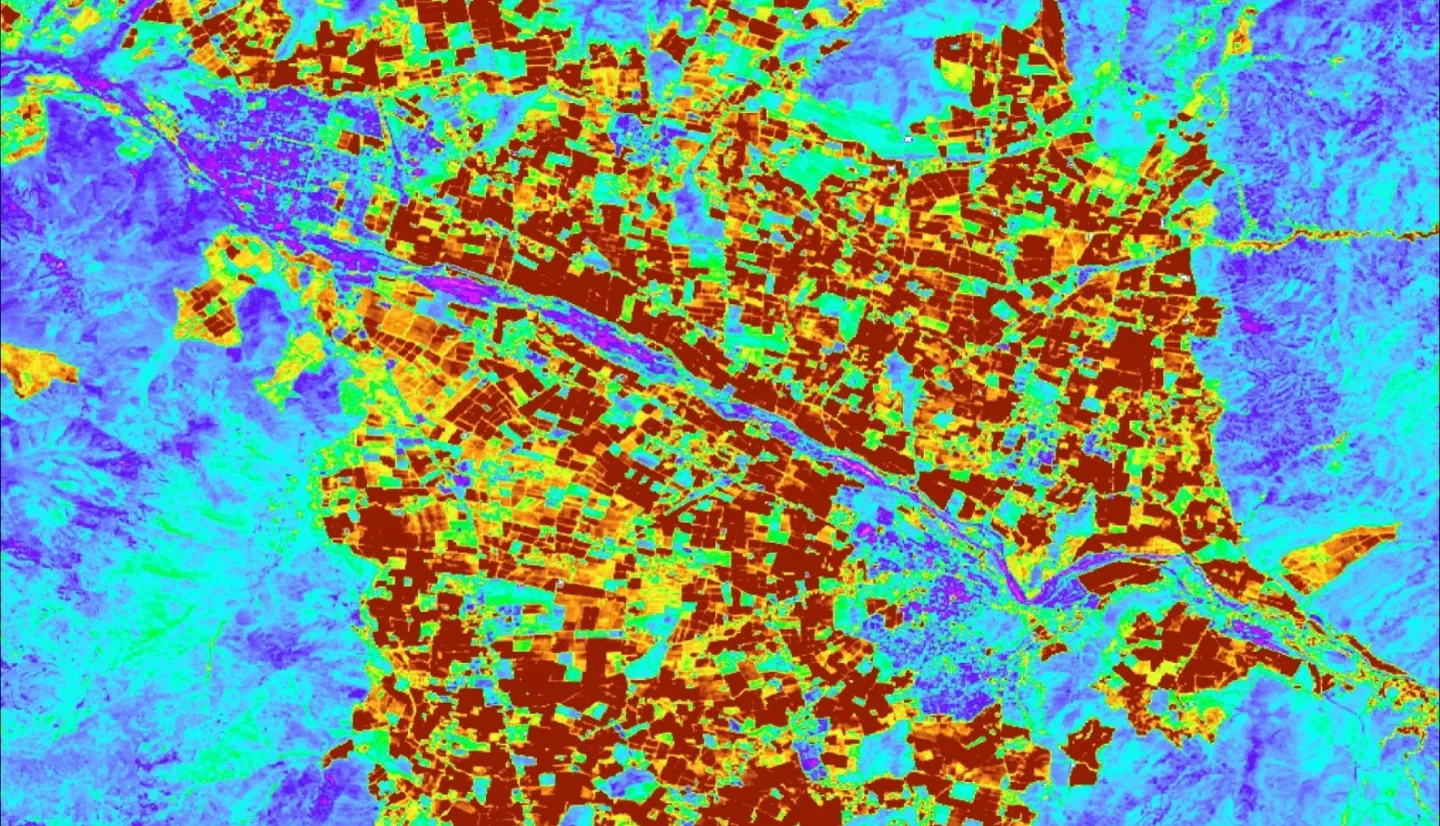
Summary: The Aconcagua basin has experienced a prolonged drought since 2010, posing a significant concern to the agricultural sector, which contributes to 12% of the national agriculture output. Reduced precipitation and warmer conditions have led to water constraints for agricultural activities. As the agriculture sector relies more on irrigation, there has been a decline in surface water availability and a shrinking groundwater supply, both primarily sourced from snow and glacial melt. This study focuses on evaluating crop water demand and water usage in the Aconcagua Basin, leveraging in-situ and available satellite data from Aqua and Terra Moderate Resolution Imaging Spectroradiometer (MODIS), 1-km downscaled Soil Moisture Active Passive (SMAP), Global Precipitation Measurement Mission IMERG (GPM), and Landsat 8 Operational Land Imager (OLI). Remote sensing hydrologic norms from pre and intra-drought conditions provided a baseline for our water use analysis. We have identified areas of the basin where water usage is exaggerated compared to other regions by analyzing soil moisture, evapotranspiration, and vegetation index trends across agricultural lands. The study highlights the presence of irrigation and exaggerated water usage categorized by crop type while normalizing the data by the quantity of water allocation (m3/s) to each subregion. The findings have the potential to assist our partners, the Centro de Información de Recursos Naturales (CIREN) and the Ministry of Agriculture, in refining water allocation approaches; showcasing the feasibility of leveraging remote sensing and earth observation datasets to monitor agricultural practices within the context of water scarcity.