Chesapeake Bay Agriculture (Summer 2022)
Team: Alexia Hernandez (Project Lead), Clay Hays, Arina Morozova, Matthew Borden
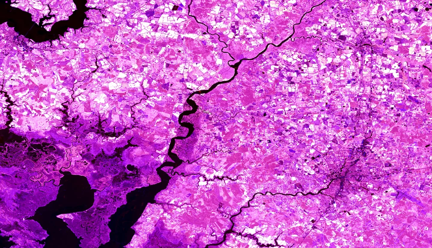
Summary: The Chesapeake Bay boasts some of the nation’s oldest farms which have continually served the greater Maryland community for centuries. Rising sea levels induced by global climate change threaten these critical coastal croplands via saltwater intrusion (SWI). The effects of SWI are widespread yet enigmatic, as crops and forests seemingly die with no apparent cause. Local farmers now face decreasing crop yields and unfavorable soil conditions that disrupt their established livelihoods. The project team partnered with the Eastern Shore Land Conservancy (ESLC), who collaborates with farmers to understand how the region may be affected by climate change, and with the Maryland Department of Planning, who informs state and local policy to adapt to SWI. To support their efforts, the team applied NASA Earth observation data, which included measurements from Landsat 5 Thematic Mapper (TM) and Landsat 8 Operational Land Imager (OLI). The team created land use land cover maps of cropland and marsh migration in the Chesapeake Bay from 2001 to 2021 and forecasted maps to 2040. The project team discovered that 60,000 acres of croplands in the study area have already been lost to marsh migration since 2001, with another 58,000 acres projected to be lost within the next twenty years. These maps will inform the ESLC and the Maryland Department of Planning of vulnerable regions in the bay to aid farmers in planning for SWI and salinization.
Related Impact