Grand Valley Ecological Forecasting (Spring 2022)
Team: Garett Powers (Project Lead), Elizabeth Stone, Kolawole Arowoogun, Mitchell Tree
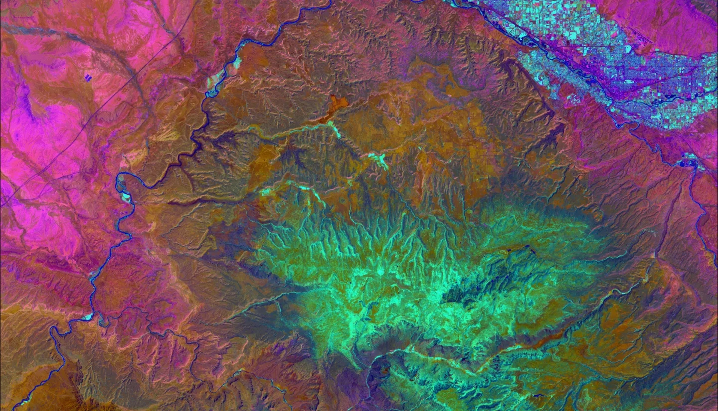
Summary: Drought, beetle infestation, and more frequent wildfires are changing the composition and distribution of the pinyon-juniper woodland and sagebrush ecosystems of the Grand Valley in western Colorado. Land managers must consider short- and long-term goals for restoration as well as budgetary and personnel limitations after such disturbances. Satellite remote sensing can provide long-term and continuous vegetation monitoring to assess where restoration is needed most and where treatment practices are most likely to succeed. Harnessing Earth observation data, our team set out to observe trends in disturbances and the distribution of pinyon-juniper woodlands and sagebrush communities of National Park Service (NPS) and Bureau of Land Management (BLM) lands within the Grand Valley. We used imagery from the Moderate Resolution Imaging Spectroradiometer (MODIS) aboard the Aqua and Terra satellites, and Landsat sensors to map land cover change within these ecosystems from 1984 to 2021. Additionally, we analyzed disturbed areas and treatment sites to understand their effect on long-term vegetation health and recovery. Results showed that pinyon-juniper woodland has expanded in extent more than other landcover types, indicating woody encroachment into sagebrush ecosystems. We also found that wildfire disturbances had lasting impacts up to 20 years post-disturbance. Pre-fire treatment practices showed mixed results regarding their effectiveness at stopping fires and promoting post-fire recovery. These results will provide context to public land managers in the Grand Valley when developing management plans, ecological monitoring locations, and implementing treatment practices for future disturbances.
Related Impact