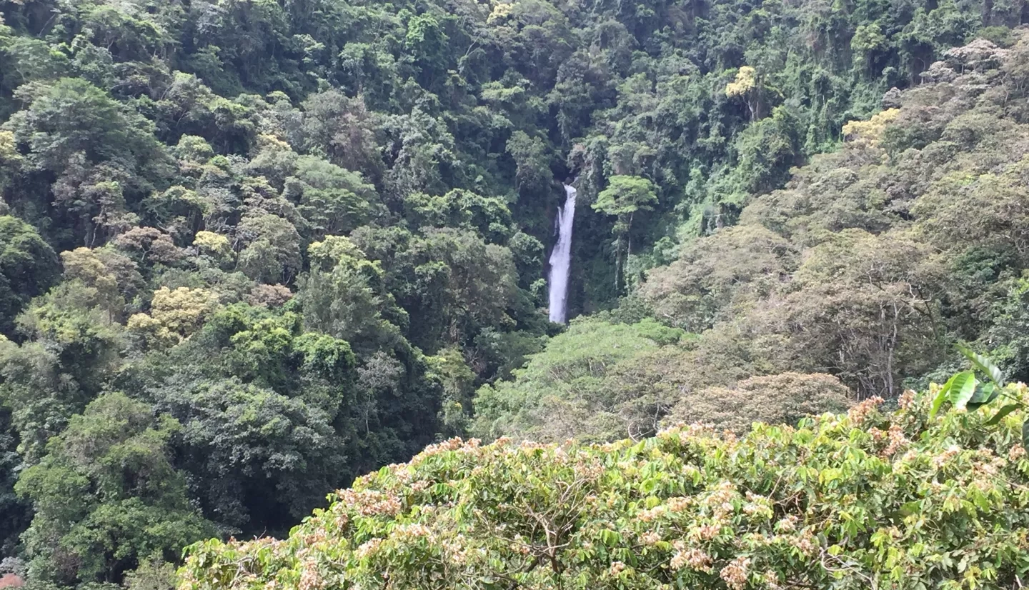
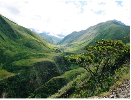
Columbia, Ecuador, and Peru are the most biodiverse countries in the world, and they are part of the Amazon Basin, a major conservation site. The project team is focusing on the specific needs of each country to develop a system that can forecast and respond to climate related events. This project addresses Sustainable Development Goal (SDG) 15 (Life on Land) by utilizing Earth Observation data to understand the effects and future implications of climate change in these three countries and to provide a support system to inform conservation decision-making processes.

Outputs & Impact
Analyze and predict changes to Amazon Basin ecosystem structure in relation to climate, socioeconomics, and policy (SDG 15.1.1, 15.1.2, 15.2.1, 15.3.1, 15.4.1, 15.4.2, & 15.9.1)
The needs of each country were determined and discussed in a series of meetings and workshops before analysis began. The team analyzes Earth Observation and biological data to identify Essential Biodiversity Variables (EVSs) that need to be monitored. The EVBs relate to ecosystem composition and structure, vertebrate habitat suitability, and risk to water yield. There is a historical component to the analysis as well. The history of land use and climate change in relation to EBVs from 1970 to 2015 was analyzed and used to forecast EVBs in all three countries. The EVBs and historical models are utilized to forecast an ecosystem response to various changes to climate, socioeconomic conditions, and policy. This analysis informs country policymakers as well as SDG reporting and monitoring.
Integration of SDG-related findings into existing UN decision support system for use by Columbia, Ecuador, and Peru (SDG 15.1.1, 15.1.2, 15.2.1, 15.3.1, 15.4.1, 15.4.2, & 15.9.1)
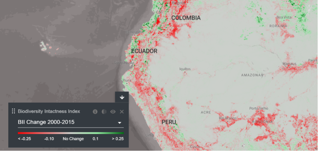
The United Nations has a spatial-focused decision support system called the UN Biodiversity Lab (Figure 3), which monitors and maps environmental risks and natural resources in near-real time. Although the work done by the project team is building upon an existing system, it is the first within the system to forecast how land use changes interact with climate change and EVBs in Columbia, Ecuador, and Peru. The project team is focusing on using the system to support nature-based solutions to climate change and urbanization. The project’s emphasis on forecasting to inform policy is also novel. The methodologies and findings this project team is working on have broad implications for the 170 other countries the UNDP works with, and there are already parallel projects in places such as Costa Rica and the Democratic Republic of the Congo taking place. The system includes information directly useful to SDG monitoring and reporting, as well as additional forecasting and policy information.
Research conducted to support the integration of information into the existing UN decision support system (SDG 15.1.1, 15.1.2, 15.2.1, 15.3.1, 15.4.1, 15.4.2, & 15.9.1)
Montana State University is focusing on historical research about climate change, ecosystem type distributions, and vertebrate species habitat suitability. The University is also determining which vertebrate species the system will provide information on. The University of Northern British Columbia is focused on creating comprehensive maps containing a variety of datasets, including human footprint data. Northern Arizona University is examining the interactions between forests and streamflow, and they have found that deforestation increases streamflow variability. The researchers are also assessing various threats to water-based ecosystem services. The research being done across these universities is instrumental in the development of the decision support system.