Imagen
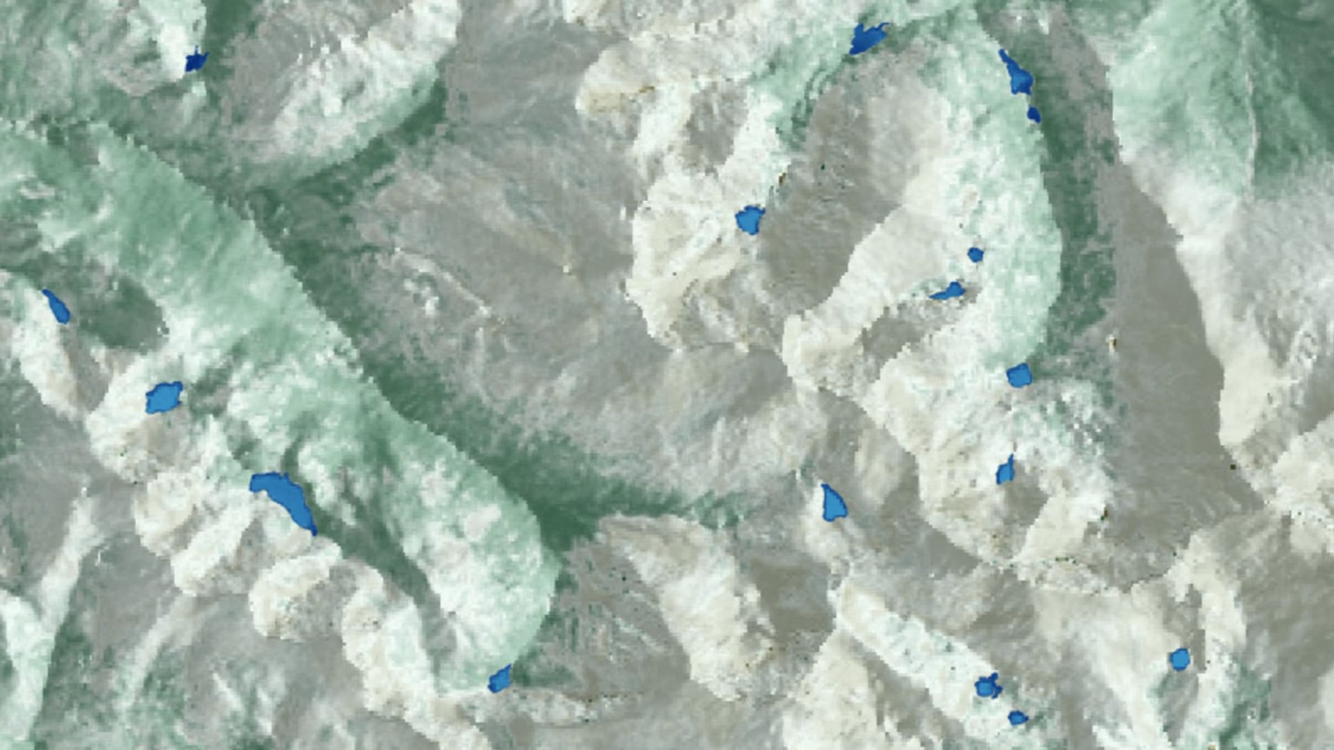
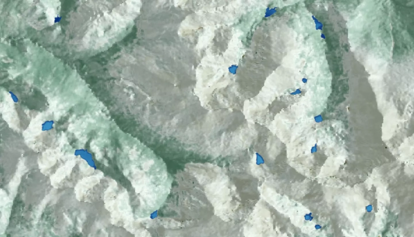
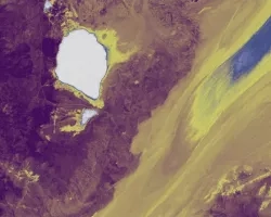
Alpine lakes in Rocky Mountain National Park (RMNP) serve as an important habitat and water source for wildlife and contribute to the overall aesthetic value of the park. However, since the 1960s, alpine lakes within RMNP have experienced intensified algal productivity as a result of rising temperatures and increased nitrogen and phosphorus deposition. This increased algal productivity may have negative impacts on water quality, ecological function, and park aesthetic. Due to the remote location of many of these lakes, continuous monitoring of algal productivity is difficult. In order to assist in the surveillance of these lakes, the Rocky Mountain Water Resources II team partnered with the United States Geological Survey’s Fort Collins Science Center and the National Park Service at RMNP to develop a methodology integrating satellite imagery for monitoring chlorophyll-a concentration as a proxy for algal productivity. In 2016, DEVELOP’s Rocky Mountain Climate team utilized Landsat 8 Operational Land Imager (OLI) to predict chlorophyll-a levels but were limited by the spatial and temporal resolution of the data. This feasibility analysis compared the efficacy of integrating higher resolution Sentinel-2 Multispectral Instrument (MSI) data with Landsat 8 OLI indices in detecting chlorophyll-a at two RMNP focal lakes, Sky Pond and The Loch. An increased understanding of the algal productivity of these lakes will allow our partners to promote best management practices in maintaining the resilience and preserve the beauty of these fragile ecosystems.