Imagen
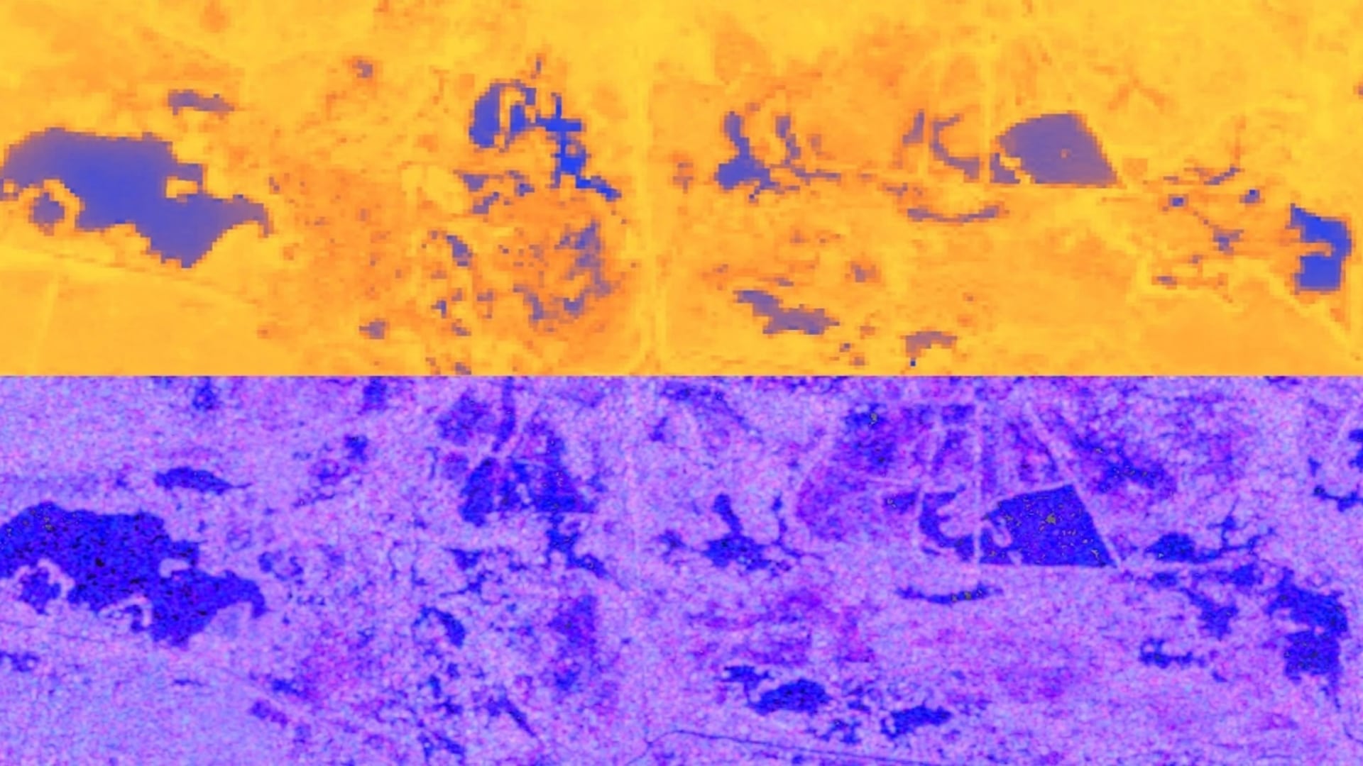
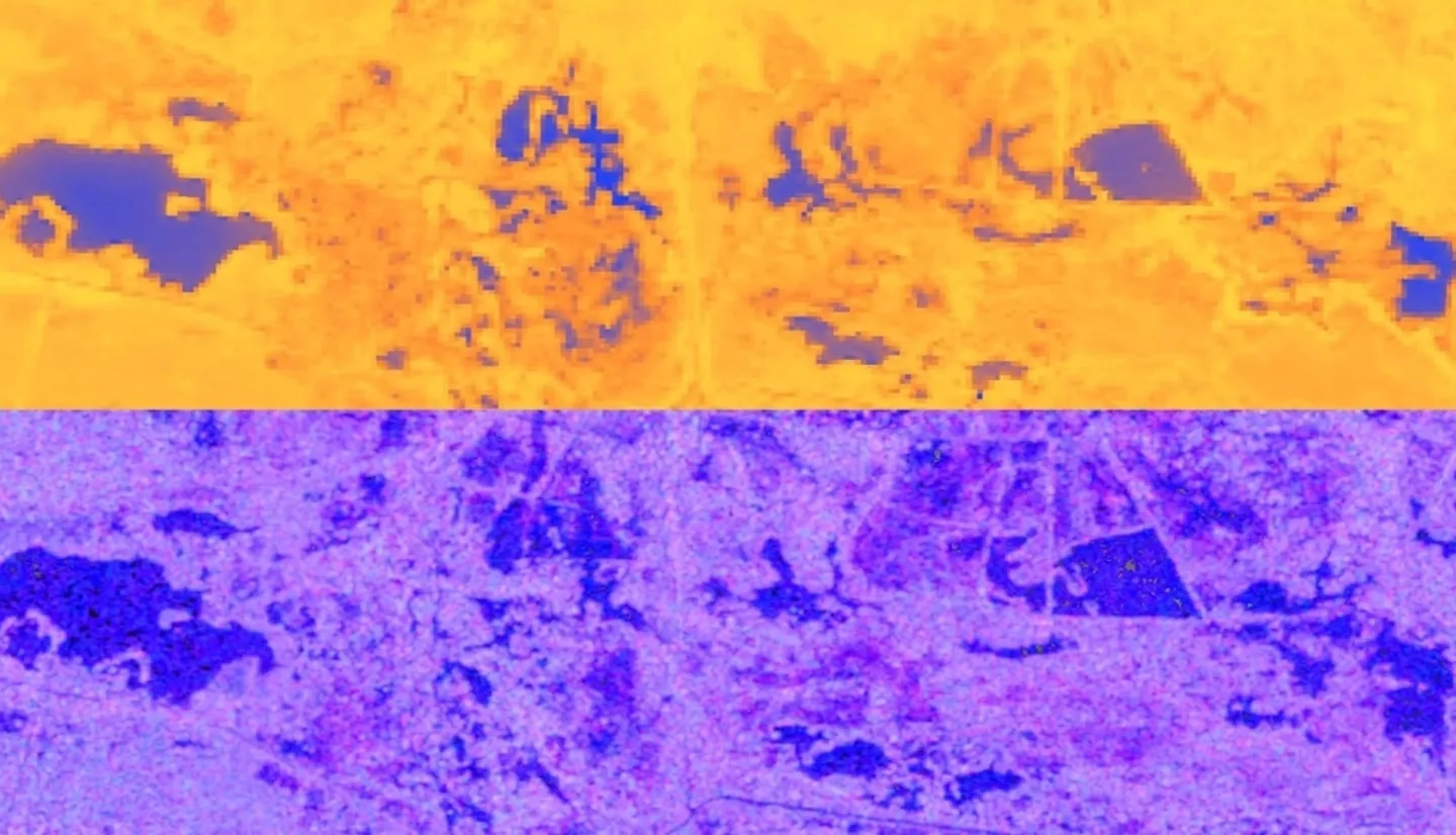
Central America is one of the world’s most vulnerable regions to natural disasters, including landslides and precipitation-driven flooding. In an effort to support disaster management and emergency response planning, this project developed a methodology that employed NASA Earth observations to map historic riparian flooding extents near the Pacific coast of Guatemala and El Salvador. Radar-based techniques were used to detect inundation impact to areas near rivers. Specific Earth observations consisted of moderate resolution remote sensing systems such as the Shuttle Radar Topography Mission (SRTM), the ALOS Phased Array type L-band Synthetic Aperture Radar (PALSAR), and the C-band synthetic aperture radar (SAR) sensor aboard Sentinel-1. End users for this project were Guatemala’s Coordinadora Nacional para la Reducción de Desastres (CONRED) and the Instituto Nacional de Sismología, Vulcanología, Meteorología, e Hidrología (INSIVUMEH), and El Salvador’s Observatorio Ambiental, all of which focus on disaster monitoring and response. This research was intended for the broader benefit of the Central American political and economic organization known as Sistema de la Integración Centroamericana (SICA), with the aim of integrating NASA Earth observations into its environmental decision making.