Imagen

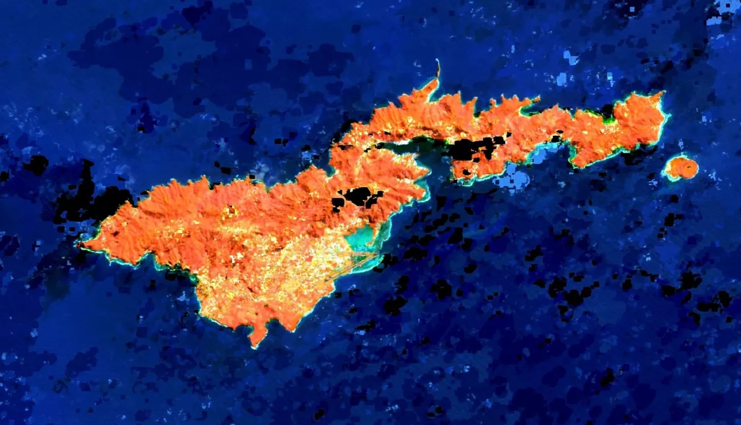
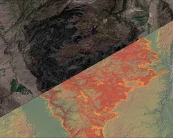
For at least the past two decades, the coral reefs and coastal ecosystems of the American Samoan island of Tutuila have experienced deteriorating water quality. Increased levels of sedimentation, nutrients, and other land-based sources of pollution (LBSP) have negatively impacted these systems and the local fishery-based economy. Traditional efforts to monitor these systems, such as in situ water quality sampling studies and field surveys of piggery operations, have proven insufficient, prompting the US Coral Reef Task Force (CRTF) Watershed Partnership Initiative (WPI) and the American Samoa Department of Marine and Wildlife Resources (DMWR) Coral Reef Advisory Group (CRAG) to seek new strategies. This project provided the partners with maps and geospatial data products to support management interventions designed to mitigate the impacts of land use and land cover change. A time series analysis deployed Earth observations from Landsat 8 Operational Land Imager (OLI) to analyze changes in land cover and chlorophyll-a (Chl-a) concentrations—a proxy for water quality—from 2013 to 2019 at an island-wide scale. Ancillary data products from the United States Department of Agriculture Natural Resources Conservation Service were used to depict change patterns in land cover at a more granular scale, using the Tafuna Plain and Faga’itua Bay as sample sites because of the biodiversity and vulnerability of their marine ecosystems. The end products supplied project partners with knowledge and tangible decision-support tools to maintain the structure and function of vital coastal ecosystems.