- PI: Pete Robichaud, U.S. Forest Service
- Co-I: Mariana Dobre. University of Idaho
- Co-I: Ian Floyd. U.S. Army Engineer Research and Development Center
- Co-I: Mary Miller. Michigan Technological University
- Co-I: Guy Schumann, ImageCat, Inc.
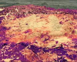
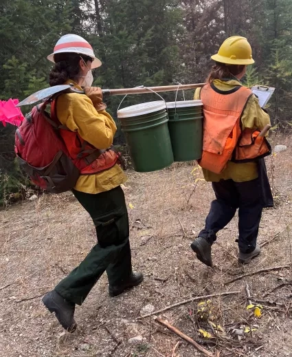
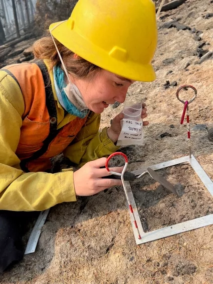
We are collecting specific field and Earth Observation (EO) data after wildfires to improve predictions of ash contamination impacts on water supplies for municipal users. The tangible benefit for land and water managers will be the ability to apply a targeted approach to the mitigation of potential hydrologic impacts from post-fire ash to vulnerable watersheds. We will develop methods for creating post-wildfire maps of ash cover (%) and ash load (t ha-1) in multiple wildfire scenarios across vegetation types, fuel loading and densities. Initial work includes postfire ash collection on the 2022 Moose Fire and the 2022 Kootenai River Complex Fire in Idaho.
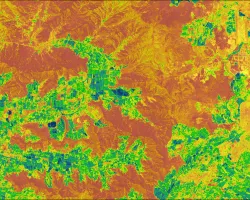
The goal is to develop an ash mapping protocol and a standardized guide that incorporates fuel layers, post-fire field data, and EO data to create maps of ash load which can be used in hydrologic modeling. Specific outcomes will be a protocol, a guide, and an operational decision-making tool for assessing and mapping post wildfire ash for use in an ash-specific hydrologic model, WEPPcloud-WATAR.
Related Impact