Padre Island Water Resources (Spring 2022)
Team: Lisa Tanh (Project Lead), Yuhe Chang, Rachel Lazzaro, Cameron Reimer
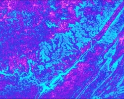
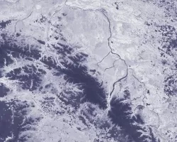
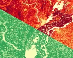
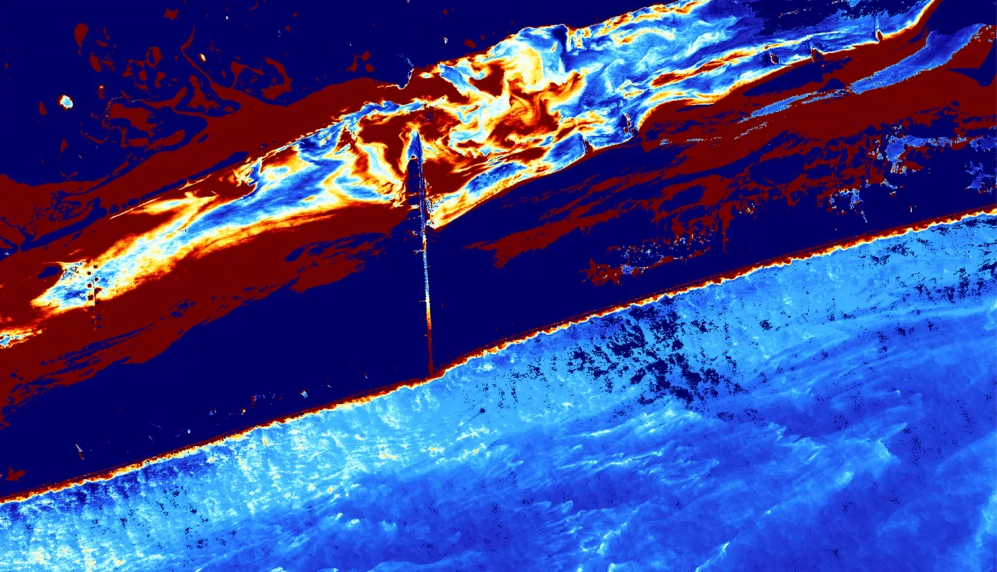
Summary: Land loss along Padre Island National Seashore threatens the safety of the recreational beach for the general public and endangers wildlife habitats and nesting sites. Historically, the Army Corps of Engineers has conducted dredging efforts to thwart erosion. Quantifying spatial and temporal variations of shoreline change is vital to understanding the interaction of land loss and historical dredging efforts. NASA DEVELOP collaborated with the National Park Service to use remote sensing to investigate the impact of dredging on Padre Island National Seashore’s shoreline. The team utilized high-resolution imagery from Maxar and Planet to create a time series of shoreline changes between 2011 and 2020, conduct shoreline extraction, and quantify shoreline changes. Additionally, the team monitored turbidity and sediment dynamics using Landsat 8 Operational Land Imager (OLI), Landsat 4 Thematic Mapper (TM), Landsat 5 TM, and Sentinel-2 MultiSpectral Instrument (MSI). Shoreline change results demonstrated an average change between 4.5 to 32 meters annually. Meanwhile, the dredging area directly north of the seashore’s Port Mansfield Channel experienced an aerial gain of 152,000 m² between 2010 and 2021. The team also observed that turbidity values increased in areas close to the channel where dredging occurred, especially in the 2018 and 2021 dredging years. Dredging years corresponded with less shoreline change than years without dredging. These results will be used to better inform future partner-designed shoreline management projects in the face of continued erosion and sea-level rise.
Related Impact