The Belize Barrier Reef System is a fragile environment where water health is highly important, and it is threatened by upstream human activities. The project team focuses on evaluating the water quality of Belize’s watersheds and the Belize Barrier Reef Lagoon in relation to human activity over time. This project addresses Sustainable Development Goals (SDGs) 14 (Life Below Water) and 15 (Life on Land) by utilizing Earth Observation data and in-situ data to support governmental decisions concerning human impact on water and coral reef health as well as official SDG reporting.
Outputs & Impact
Development of a Google Earth Engine app to model historical and future land cover change as well as hydrologic modeling (SDGs 14.2, 14.5, 14.a, 15.1, 15.2, 15.5, & 15.9)
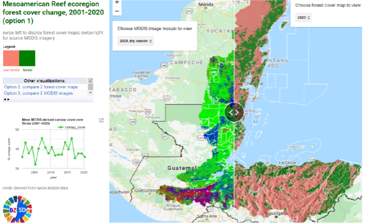
MODIS land cover data is utilized to produce both historical and future land cover models for Belize (Figure 1). A baseline land cover change transformation was established by examining Belize’s watershed and lagoon change from 2008 to 2018. Projection models were created for the years 2030, 2050, 2070, and 2090.
These models operate under the assumption that conservation efforts and conditions will remain the same, but there are models being developed that project land cover change in ‘Conservation-focused’ scenarios and ‘Development-focused’ scenarios. These models have many applications, one of which being to assess and project future reef and lagoon health. Hydrologic models have also been developed from calculations of rainfall erosivity factors, flow direction, and flow accumulation. The project team is using these models to examine the relationship between runoff, climate change, and land cover change. The area of focus has been expanded by a NASA DEVELOP project team to include data from parts of Honduras, Mexico, and Guatemala, which goes to show the scope of this work. In addition to using the models in SDG reporting, Belize has included them in the country’s Coastal Zone Management Plan, an important document about sustainable development.
Collection & processing of in-situ data in relation to Earth Observation data in a Google Earth Engine app (SDGs 14.2, 14.5, 14.a, 15.1, 15.2, 15.5, & 15.9)
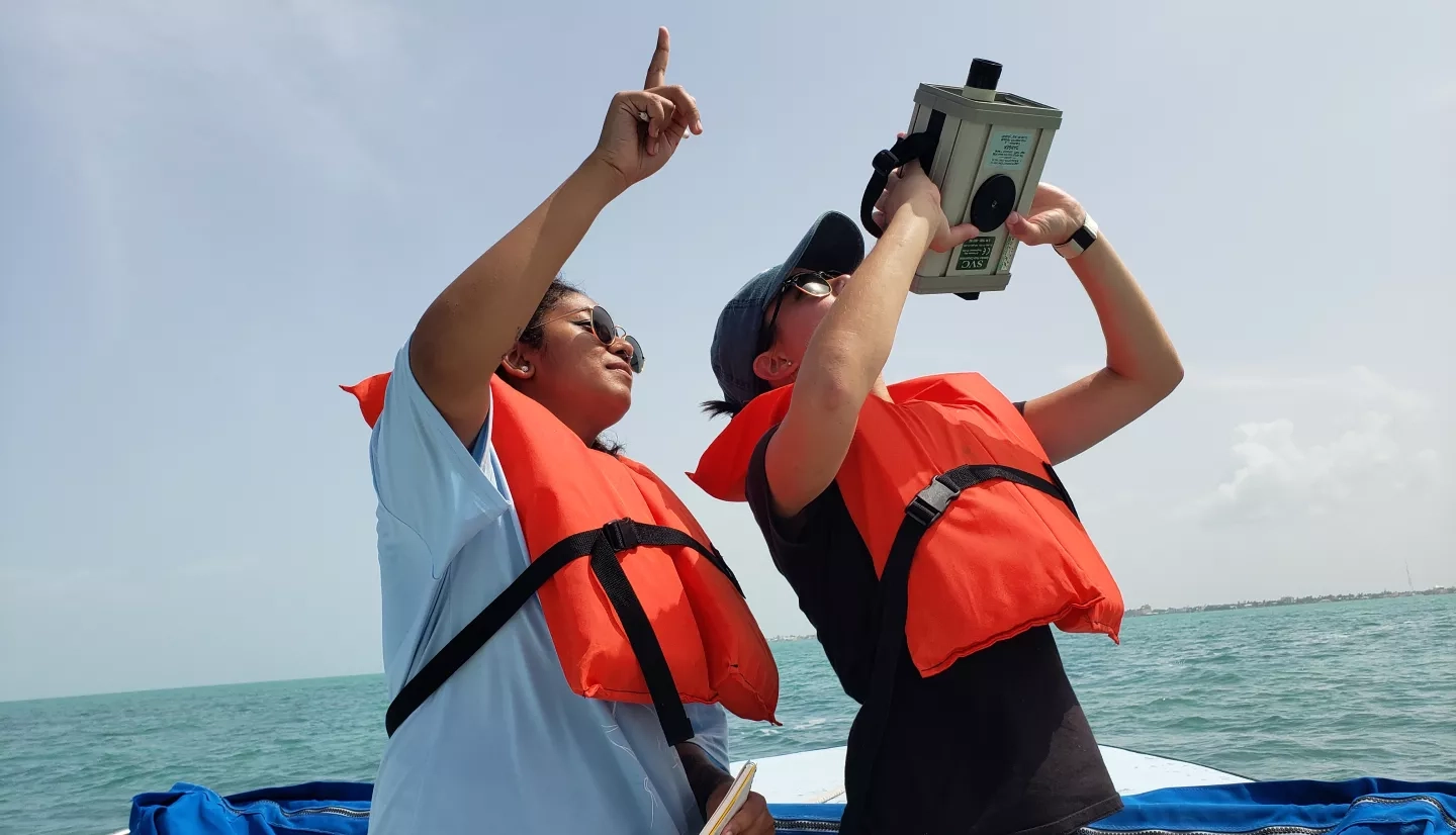
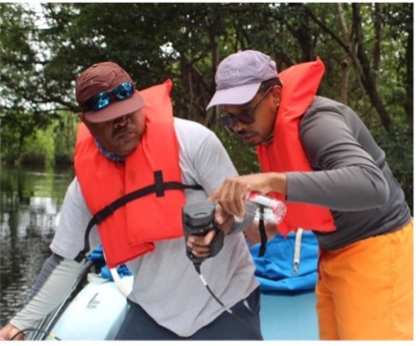
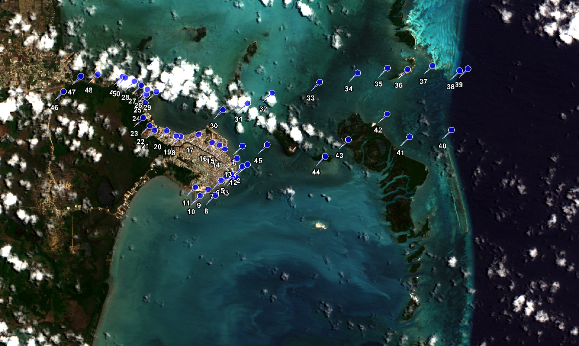
Water quality measurements of nitrogen, nitrate, ammonia, and phosphates were obtained during both the wet and dry season to ensure a thorough and accurate analysis (Figure 2). An in-situ study was conducted on macroalgae, where samples were taken from ten different sites and various ratios of molar carbon nitrogen, and phosphate examined (Figure 3). This study found that nitrogen to phosphate ratios have increased by at least 200% over the past three decades in the Belize Barrier Reef System. Another study looks at TSS (total suspended solids) estimations in the Belize Barrier Reef Lagoon. The goal of this study is to create a machine learning TSS model which will analyze fluctuations in TSS as well as nutrients in the lagoon. Finally, a bathymetry model was created to help the government end-users understand the role water column depth plays in water quality. Although this work focuses on Belize, the methodology can be applied to other important watershed areas. These apps will soon be used in SDG reporting, but is also in Belize’s Integrated Coastal Zone Management Plan, an important document about guiding development in Belize.