Imagen
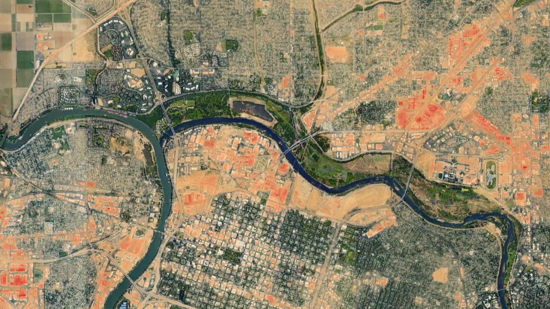
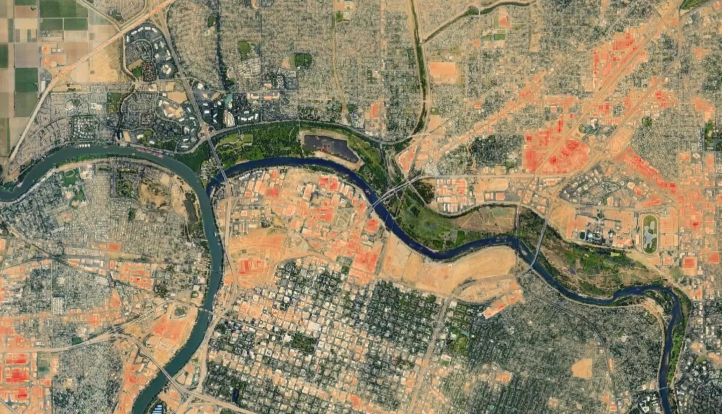
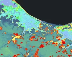
The combined effects of increasing urbanization and climate change have exacerbated the urban heat island (UHI) effect and heat-related risks for city dwellers. Vulnerability to heat-related illnesses is further compounded by risk factors such as demographics, socioeconomic status, and pre-existing health conditions. The City of Sacramento, as California’s fastest-growing city in terms of population, is particularly invested in combatting the UHI effect. The team collaborated with the City of Sacramento and urban planning firm, Dyett and Bhatia, on three main goals: assessing urban heat at the neighborhood scale; identifying priority areas for cooling interventions; and assessing heat risk to the population. This project utilized NASA Earth observation products to identify hotspots within the community areas of Sacramento and create maps of urban heat, the heat-mitigation index, and heat risk of the study period from 2016-2020. The Surface Reflectance product was used from Landsat 8 Operational Land Imager (OLI) and Thermal Infrared Sensor (TIRS) and ECOsystem Spaceborne Thermal Radiometer Experiment on Space Station (ECOSTRESS) thermal infrared sensor. Additionally, the Integrated Valuation of Ecosystem Services and Tradeoffs (InVEST) urban cooling model was used to assess the impact of increased tree canopy scenarios. Urban hotspots were identified in central Sacramento and along major transportation corridors such as Stockton Boulevard, while the highest risk areas were identified in the community areas of Fruitridge/Broadway and North Sacramento. This project identified these high-opportunity areas for heat mitigation to inform the City of Sacramento's General Plan. This will inform the partners’ plans to reduce citizen risk by addressing urban heat islands.