Richmond Disasters (Summer 2023)
Team: Kaylee Tanner (Project Lead), Brodie Thiele, Trinity Johnson, Maggie Lincoln
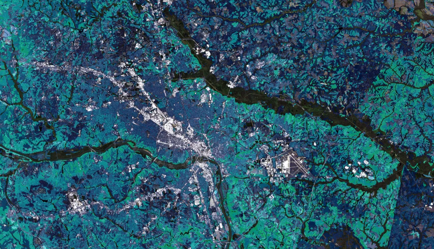
Summary: Pluvial flooding is the most frequent and widespread type of flooding in urban areas. It occurs when intense precipitation events overwhelm the capacity of soils and drainage systems. The Richmond Regional Planning District Commission (PlanRVA) provides planning services for flood resilience and emergency management for 9 localities in Central Virginia. Their efforts are hindered by a lack of information on the location and severity of pluvial flooding. We used the InVEST Urban Flood Risk model, which estimates an area’s capacity to retain stormwater, the Arc-Malstrøm bluespot model, which predicts the location and depth of flooding, and data from NASA’s Global Precipitation Measurement (GPM) satellite to analyze historic flood events and identify areas with high flood risk. We analyzed the Social Vulnerability Index from the US Census to identify areas with the greatest need for flood mitigation efforts. We concluded that census tracts in more urbanized areas tend to have higher flood risk and social vulnerability. For these areas of concern, we created detailed maps depicting flood risk and predicted flood depth for various precipitation levels. One limitation of this study was the use of simplistic models that did not account for runoff processes, antecedent moisture conditions or existing drainage infrastructure. While these models required many assumptions and produce large errors, the results are sufficient for rough regional analyses and narrowing the scope of future work. PlanRVA will use these results to enhance existing flood risk information, improve resilience planning, and focus infrastructure projects.