Imagen
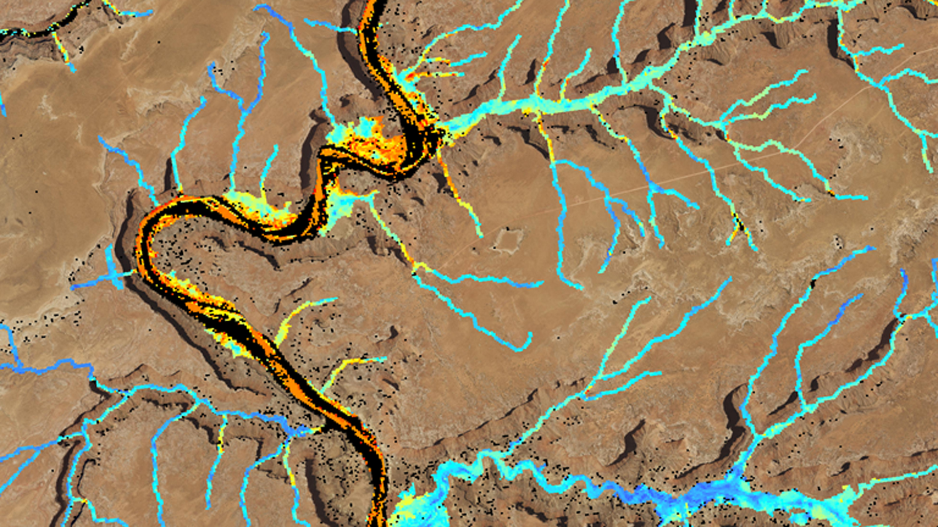
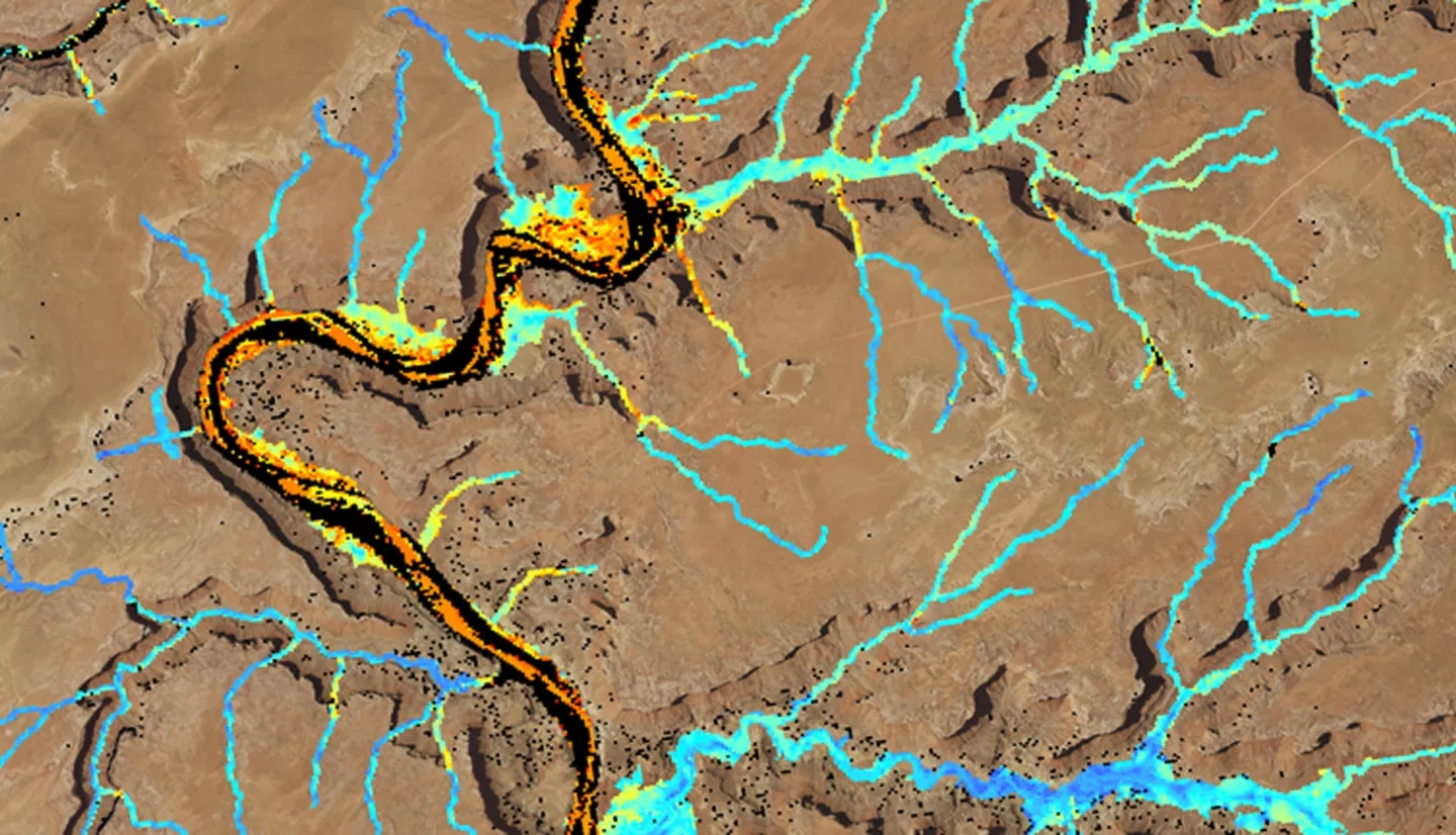
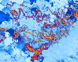
Riparian corridors are inhabited by unique and biodiverse plant communities that control erosion, manage sediment loads, and filter pollutants. These ecosystems are transitional zones between terrestrial and aquatic systems that provide important wildlife habitat and maintain the overall health of rivers. The Colorado River Basin not only serves as an important ecological system, but also provides a water supply to more than 40 million people in the western United States. However, the spread of invasive species such as tamarisk (Tamarix spp.) impacts the ecosystem functionality of this river basin by altering flow regimes, sediment loads, and evapotranspiration rates. This project utilized Shuttle Radar Topography Mission (SRTM) topographic data, Landsat 8 Operational Land Imager (OLI) and Thermal Infrared Sensor (TIRS), Landsat 7 Enhanced Thematic Mapper Plus (ETM+), and Landsat 5 Thematic Mapper (TM) to map and distinguish tamarisk cover from that of riparian species in 2006 and 2016 in the Green River watershed of the Colorado River Basin. Further, for 2016 tamarisk cover maps, we compared Landsat 8 to Sentinel-2 Multispectral Instrument (MSI) in a cross-platform analysis. Invasive species cover maps and an in-depth tutorial allow partners at the Walton Family Foundation to create effective management plans and to reproduce this methodology for future planning.