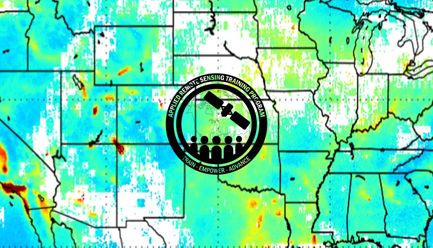
Description
This training will cover the applications of Earth observations for air quality-related decision-making activities. Lectures & exercises will highlight applications related to air quality monitoring, forecasting, smoke, fire, PM2.5 monitoring, image interpretation, and data access for modeling efforts. Data sources will include:
- MODIS
- TROPOMI
- GOES-East
- GOES-West
- Online tools for visualizing and acquiring aerosol & trace gas data
- TEMPO proxy datasets
To conclude the training, participants will complete a case study that incorporates all data portals, tools, and relevant data. Participants will apply this to properly identify, track, and measure air quality events of their choosing. This will also allow them to assess the strengths and weaknesses of these data products.
This training is appropriate for air quality and health professionals, as well as decision makers from local, state, and federal agencies, NGOs, and the private sector.
- Day one consists of an introductory-level training, appropriate for participants with little to no remote sensing experience.
- Day two consists of an advanced-level training, which provides detailed applications with step-by-step instructions.
- Participants that attend the introductory-level training will be prepared for the advanced-level training.
- Introduction to Remote Sensing
- Satellite Imagery, Formats, and Data Access
- Exploring Satellite Imagery Using NASA Worldview and Earth Observatory
- Remote Sensing of Aerosols & Applications
- Time Series Analysis and Mapping of Aerosol Data
- Exploring Air Quality from Satellite Data Using NOAA’s e-IDEA and Aerosol Watch
- The Relationship Between AOD and PM2.5
- EPA Air Now Data and Satellite-Based PM2.5 Datasets
- Trace Gas Air Quality Products from OMI and TROPOMI
- Introduction to TEMPO, Applications, and Synthetic Data Access
- Satellite and Health Data Analysis Using the Google Cloud Platform
- Satellite Remote Sensing of Aerosols and High Resolution Data Download
- TROPOMI Data Download & Display Using Panoply
- Estimating PM2.5 Using Satellite Aerosol Data
- NASA Air Quality Forecasts
- Using Python Scripts to Read, Map, and Extract Aerosol Data
- Using Python Scripts to Read and Map Synthetic TEMPO Data
- Exploring Synthetic TEMPO Data Using Panoply & ArcGIS
- Using Synthetic TEMPO and Health Data for Analysis on the Google Cloud Platform
- Aerosol Observations from GOES-R and VIIRS
- Satellite Detection of Fires & Smoke Transport


