Start Date: Aug. 28, 2024
Type: Floods, Landslides
Region: Asia
Info & Resources:
Overview:
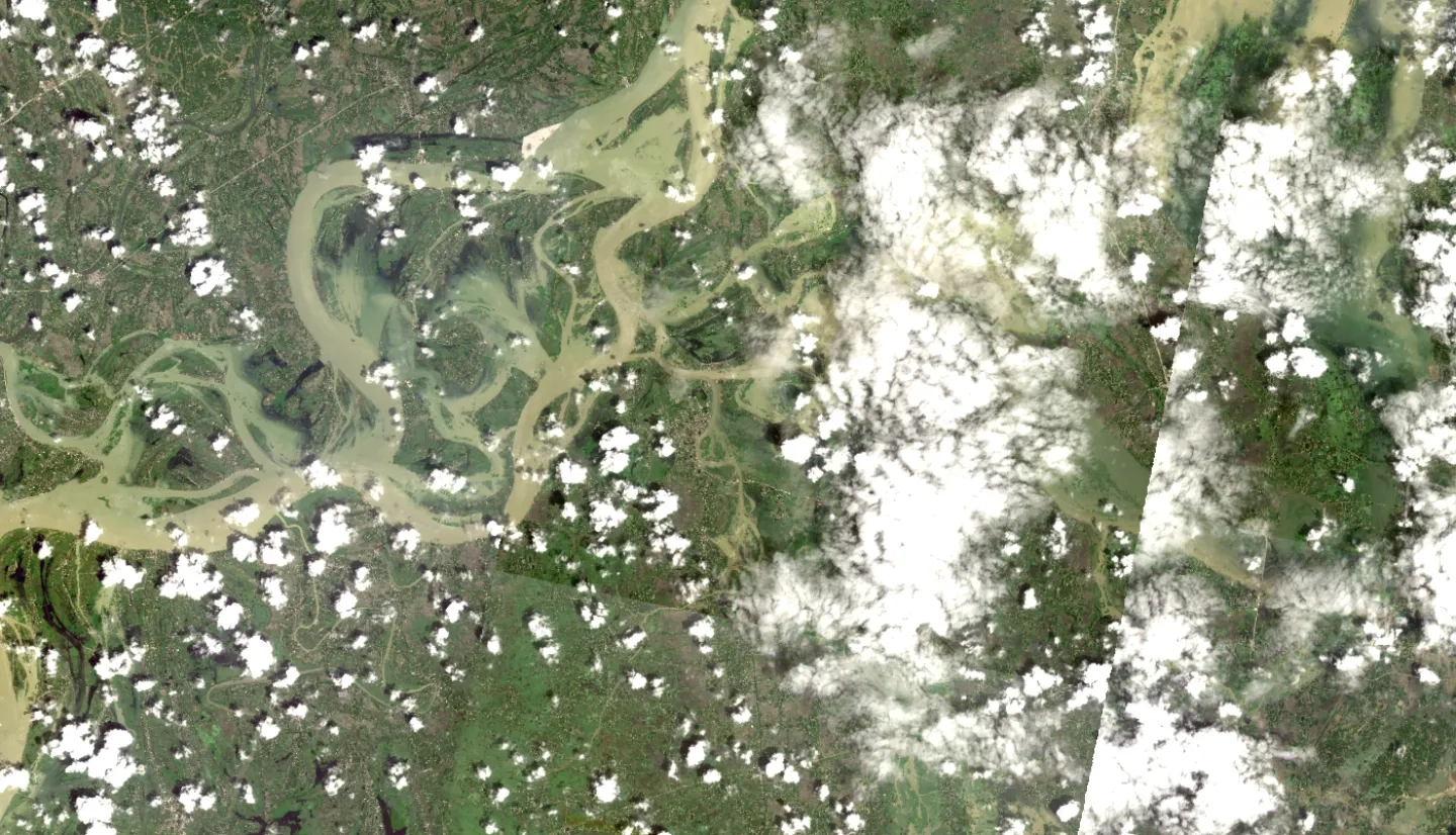
The eastern region of Bangladesh, particularly the districts of Feni, Comilla, Noakhali, Habiganj, Moulvibazar, Khagracchari, and Rangamati, were severely affected by extensive flooding beginning on Aug. 20, 2024. Meteorologists attributed the flooding to excessive rainfall induced by a depression over the Bay of Bengal, leading to an unprecedented rise in water levels and widespread devastation.
The Regional Integrated Multi-Hazard Early Warning System for Africa and Asia (RIMES) contacted the NASA Disasters Response Coordination System (DRCS) to request support for the event. RIMES is collaborating with the Bangladesh Meteorological Department, the Flood Forecasting and Warning Center, and the Department of Disaster Management (DDM) to ensure a coordinated and effective response. They are conducting an on-ground assessment of the situation, with a particular focus on identifying the underlying causes of this severe and atypical flooding event.
