OPEN AND ACCESSIBLE TOOLS THAT STRENGTHEN COMMUNITIES
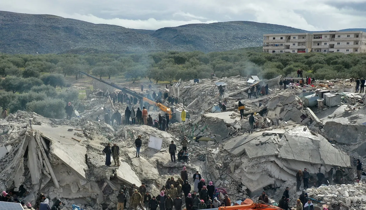
Disasters happen when a hazard - like a hurricane, earthquake, or volcano – strikes an exposed and vulnerable group of people. By empowering partners with tools to understand disaster risk, we reduce disaster impacts and build resilient communities.

The NASA Disasters Program advances science and builds tools to help communities make informed decisions for disaster planning. We develop free and accessible resources that use Earth observations to reveal how natural hazards interact with vulnerability, exposure, and coping capacity in a changing climate.
Before, during, and after disasters strike, our timely information and agile network of partners help communities worldwide reduce risk, improve response, hasten recovery, and build disaster resilience.
OUR FOCUS
USING EARTH DATA TO ADVANCE DISASTER SCIENCE
Our projects apply Earth observing data to support decisions across the disaster cycle. We collaborate with partners from around the world to build innovative applications and advance these tools towards operational use.
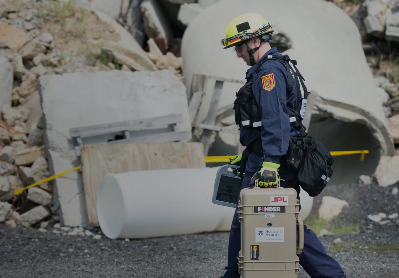
AIDING DISASTER RESPONSE
We use NASA's science, technology, and expertise to support teams responding to disasters on the ground. We work with domestic and international government agencies, emergency response teams, and humanitarian organizations to provide actionable data that informs decision-making and reduces impacts on lives and livelihoods.
LEARN ABOUT OUR DISASTERS RESPONSE COORDINATION SYSTEM
ENGAGING COMMUNITIES
We actively contribute to international partnerships, working groups, and science meetings to share knowledge and identify the social, environmental, and economic concerns common to communities across the globe. We work to build deeper connections, foster mutual understanding, and increase user capacity, equipping decision-makers with resources to build resilient communities.
SIGN UP FOR OUR DISASTERS COMMUNITY NEWSLETTER
PROMOTING OPEN SCIENCE
Our NASA Disasters Portal combines cutting-edge Earth data products with information on vulnerability and exposure to provide an integrated view of how disasters impact communities. StoryMaps and other interactive visualization tools on the portal help users integrate, understand, and apply the data. We provide free data in standardized geographic information systems (GIS) format to allow for easier integration into partners’ workflows and make our resources accessible to all.
VISIT THE NASA DISASTERS MAPPING PORTAL
EXPLORE BY Disaster Type
Earthquakes | Fires | Floods | Hurricanes & Cyclones | Industrial Incidents | Landslides | Oil Spills | Severe Weather | Tsunamis | Volcanoes