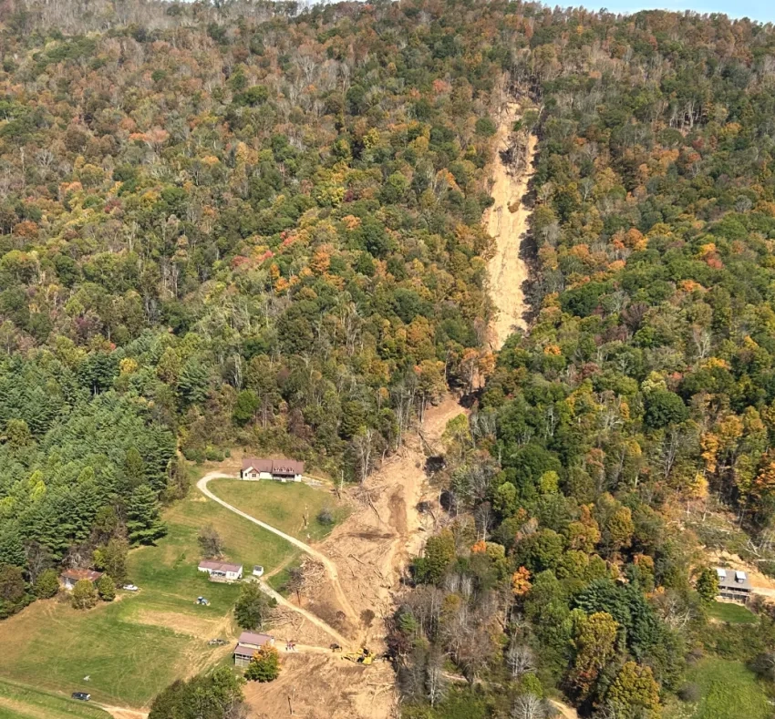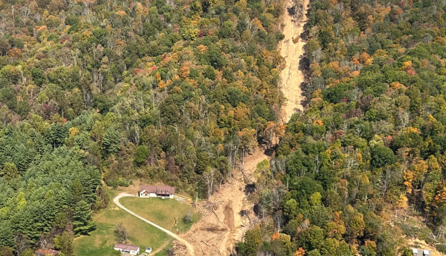
In Sept. 2024 Hurricane Helene barreled through the Southeastern U.S. with unexpected power, devastating communities in its wake. In addition to widespread flooding, wind damage and power outages, the storm caused nearly 2,000 landslides in western North Carolina and surrounding regions according to USGS reports. These landslides destroyed people’s homes, damaged critical infrastructure, and blocked key roadways, severely hampering relief efforts. Six months later, communities are still reeling from the impacts.
Landslides rank among the world's most destructive hazards, yet their localized nature and complex triggering factors make them difficult to track. To address this challenge NASA’s Disasters Program develops innovative tools that harness Earth observations to predict and identify landslides and works closely with organizations to aid their response efforts. From a landslide hazard awareness tool that uses near real-time satellite data to assess landslide likelihood globally, to cutting-edge machine-learning tools that can help quickly identify landslides from high-resolution optical satellite imagery, NASA is putting Earth science into action to protect communities from these threats.
A new three-part training series jointly offered by NASA's Applied Remote Sensing Training (ARSET) program and NASA's Disasters Program will provide hands-on experience with these essential tools. Participants will work directly with NASA researchers to develop deeper understanding of landslide science and remote sensing applications and gain practical experience with the SALaD model for rapid post-disaster mapping and the LHASA model for landslide prediction and risk assessment.
Join us to acquire skills and knowledge that can help your community understand and mitigate landslide threats.