SERVIR–a joint program of NASA and the U.S. Agency of International Development–is helping protect biodiversity and human lives in Guyana by working with communities to keep a watchful eye on the health of coastal mangrove forests.
At a July launch event in Guyana’s capital, Georgetown, SERVIR’s Amazonia regional hub joined the National Agricultural Research and Extension Institute (NAREI) and the University of Guyana to launch the Mangrove Monitoring Service. This collaboration developed the monitoring service to help Guyana keep an eye on the health of mangrove forests. Personnel from several of the country’s government agencies–including agencies for forestry, agriculture, fisheries, and housing development–attended the launch, which included geospatial training workshops and a session to listen to the needs of different users.
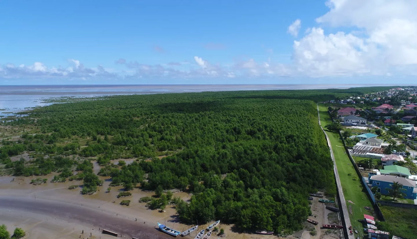
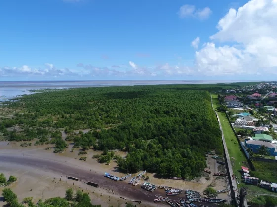
Mangrove trees grow in the salty tidal wetlands along tropical coastlines and river deltas around the world. They create swampy forests that harbor important land animals, birds, and marine life. In addition to being rich natural habitats, mangrove forests are also incredibly useful to nearby communities.
"Mangroves not only play an essential role in the protection of Guyana's low–lying coastal regions, serving as a natural barrier against flood waters, they also help to combat climate change,” Christine Evans said. Evans is a SERVIR science fellow studying landscape carbon sequestration and emissions, and represented SERVIR’s Science Coordination Office at the event. “Mangrove forests are one of our richest carbon sinks, sequestering more carbon than most inland rainforests."
Mangroves also stabilize eroding coastlines and help prevent saltwater from harmfully seeping into agricultural soils. For coastal communities around the world, they’re often vital for adapting to the effects of a changing global climate, and on national and global levels, they’re crucial for meeting international agreements for reducing carbon emissions.
“Both natural and anthropogenic factors threaten the mangroves along Guyana's coastline and riverbanks,” Evans said. “The natural erosive and accretive cycles of the coastline along with movement of large-scale mud banks leads to degraded mangrove forests and loss of restoration sites. In addition, the increased need for urban development and agricultural expansion has resulted in the overharvesting of mangroves for raw materials.”
The Mangrove Monitoring Service makes it possible to measure the height and density of mangrove forests by interpreting data from NASA satellites that bounce precise radar signals off the Earth’s surface. The mangroves’ leaves and branches cause radar signals to come back scattered, but if the service finds a spot where the signals bounce back smoothly or less scattered, it can warn local experts that a section of forest might be sick, or even deforested entirely. Satellite imagery from other NASA satellites gives the service a bird’s eye view of the forests, further helping spot places where forest is being lost. The service is part of SERVIR’s Carbon Pilot (“S-CAP”), a program designed to help communities around the world better understand the implications of land management decisions on carbon sequestration.
"This collaboration between SERVIR Amazonia and NAREI will significantly enhance Guyana's capacity to better manage, conserve and restore its mangrove ecosystems to protect our vulnerable low-lying coastline from the impacts of climate change and sea level rise" said Kene Moseley, Mangrove Coordinator at NAREI.
Guyana may be only the beginning: SERVIR Amazonia is already in talks with five other countries in the Caribbean–including Suriname, the Bahamas, and the Dominican Republic–that are also interested in adopting the service. The lessons learned in Georgetown might be the first steps towards building the goal of protecting biodiversity and climate resilience across the Caribbean.


