Using NASA Earth Applied Sciences’ research and resources, health officials can incorporate Earth observations into decisions to protect human and environmental health – all part of the interconnected systems on Earth. Each April, the American Public Health Association promotes National Public Health Week, which aims to identify appropriate and timely public health topics and share best practices to enhance community engagement and improve our nation's health.
Each year, NASA’s Health and Air Quality (HAQ) Applications program area joins in recognizing the importance of connecting cross-cutting scientific approaches with public health applications that enhance decision-making activities. The theme of National Public Health Week in 2021 is “Building Bridges to Better Health,” which focuses on strengthening our connections – both virtual and in-person – to establish robust scientific and community partnerships that promote information sharing about risks related to exposure to harmful environmental agents.
To celebrate, the HAQ Applications program area is highlighting three current projects that showcase expanding community engagement and partnerships with scientific institutions, community organizations, and direct end users and decision makers.
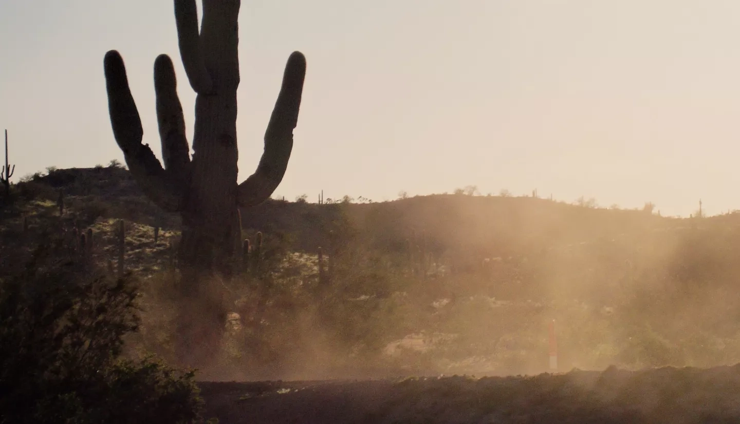
Tracking Saharan Dust’s Impacts on Caribbean Air Quality and Disease
Pablo Méndez-Lázaro, associate professor at the University of Puerto Rico Medical Sciences Campus, leads a project that is developing an early warning system for Saharan dust to track how the seasonal dust particles travel across the Atlantic Ocean to affect air quality in Puerto Rico. When NASA asked scientists to investigate how environmental factors may affect the spread of COVID-19, the team expanded their research to study how this seasonal African dust could affect health and mortality associated with the virus.
As Saharan dust travels across the Atlantic, it reflects visible and infrared light, which is detected by the National Oceanic and Atmospheric Administration (NOAA) GOES-16 mission; the Moderate Resolution Imaging Spectroradiometers (MODIS) on NASA's Terra and Aqua satellites; and the Visible Infrared Imaging Radiometer Suite (VIIRS) onboard the Suomi National Polar-orbiting Partnership (NPP) mission. Suomi NPP is a joint mission between NASA and NOAA.

To build robust scientific partnerships, Méndez-Lázaro and his team are working with 19 different organizations across academia as well as the public and private sectors, including meteorologists at the National Weather Service (NWS)’s San Juan Office, epidemiologists at the Puerto Rico Department of Health-Office of Public Health Preparedness and Response, physicians, and environmental scientists, to better understand the possible health impacts of exposure to dust events. When a historic dust storm arrived in the Caribbean in June 2020, those connections helped to keep vulnerable populations informed. The team reached out directly to medical doctors who were already collaborating with their research team to raise awareness of the upcoming hazardous conditions, allowing them to alert their at-risk patients up to three days in advance.
"Having those three days allowed people to prepare to take steps like staying indoors or taking needed medication,” Méndez-Lázaro said. In turn, the doctors informed Méndez-Lázaro's team about the health coverage they delivered during the event, helping the NASA team understand how patients responded to these warnings.
In collaboration with their scientific partners, Méndez-Lázaro and his team are developing educational outreach materials to inform the public about the seasonal occurrence of Saharan dust storms and the health impacts, working with the Caribbean Coastal & Ocean Observing System (CARICOOS) and the Candela Creative Group to design and develop visualization tools for Saharan dust. They have developed printed brochures, infographics, and audio and video recordings to be disseminated via social media and websites of the NWS and the EcoExploratorio Science Museum of Puerto Rico. Notably, the team reached over 75,000 people through a week-long series of webinars and workshops on topics related to the Saharan dust storms and public health in July 2020.
Valley Fever, Transportation, and the American Southwest
The southwestern United States has also seen increasing dust storms, which can cause low visibility for transportation, negatively impact air quality, and even carry spores of a dangerous fungus. Valley fever is caused by the Coccidioides fungus, which grows in dirt and fields and can cause fever, rash, and coughing.
Daniel Tong, associate professor at George Mason University, is one of the first scientists to discover the link between dust storms and Valley fever. He leads a NASA-funded team to enhance current forecasting and surveillance activities related to dust storms and the airborne spread of Valley fever across the southwestern states for the first time. To meet this challenge, Tong and his team are combining NASA satellite data, like those from MODIS and Landsat, with high-end computer modeling to help monitor disease risk for epidemiologists, health care providers, and public health decision makers.

Tong says that he greatly appreciates how the scientific and local communities are coming together to support this work. “I’ve never seen this kind of spontaneous collaboration on a single scientific project before – many scientists and organizations are lending their own expertise because they see how important this is,” said Tong.
The team is working with scientists to more accurately estimate dust emissions for regional partners in transportation (New Mexico Department of Transportation), health (Arizona Department of Health Services), and air quality management (Pinal County, AZ and the State of NM). Through these collaborations with state and local agencies, they have placed the sensors in highly susceptible areas to see where Valley fever might be affecting the most people. They have also established relationships with national and international agencies such as the Centers for Disease Control and Prevention, NOAA/NWS, and the World Meteorological Organization on Valley fever and dust. The cooperation among a network of multidisciplinary USDA Agricultural Research Service scientists from Texas and Arizona streamlined this collaboration.
"Understanding dust storms and the hazards they bring requires a collaboration between researchers from many backgrounds," said Tom Gill, team member and professor of earth, environmental and resource sciences at the University of Texas at El Paso. "That's why I'm very excited to be in this group, working with experts in atmospheric science, geology, biology, agriculture, public health, and transportation engineering. We're constantly learning from each other, which improves our ability to tackle complex problems like dust storms."
As a result of the team’s community engagement, local health agencies like the Pinal County Public Health Department in Arizona and community physicians are already incorporating these data to inform health and safety measures like increased testing and public education.
Great Air Quality for the Great Lakes Region
A NASA-funded team is working closely with local partners to improve air quality modeling of surface-level ozone, a pollutant harmful to respiratory health, resulting in an updated framework in use by state air quality planning agencies in the region.
Researchers at the University of Wisconsin, Jason Otkin and Brad Pierce, are working with the Lake Michigan Air Directors Consortium (LADCO) and Wisconsin Department of Natural Resources (WDNR) to improve the accuracy of the assessments needed for local air quality decision-making. LADCO already conducts air quality assessments for its member states in the Great Lakes region, including WDNR, due to local areas exceeding the National Ambient Air Quality Standards for ozone. But modeling air quality in this region is difficult due to complexities with simulating the lake and land breezes along Lake Michigan’s shoreline, as well as the lake’s interactions with the ozone chemistry.
Fortunately, Earth observations provide important information about the lake’s complex environment. NASA flight crew and researchers aided in a 2017 study focused on better understanding the impact of Lake Michigan on local ozone and air quality. The HAQ project team used measurements collected during this study to assess the accuracy of their model’s forecasts and optimize the model for the Lake Michigan region. They then incorporated high-resolution soil moisture and temperature data from NASA’s Land Information System and vegetation data from MODIS and VIIRS.

Using this view from above, Otkin and Pierce worked with local air quality partners at LADCO to run their model to improve the accuracy of simulations – and therefore more precisely take action to protect public health through improved air quality in the future. By working directly with the end users, the team has been able to get regular feedback as LADCO develops the air quality modeling needed for assessing emission control strategies, allowing NASA to be more responsive to the needs of those actually putting the products into use.
Helena Chapman, associate program manager for HAQ, says that engaging with scientific experts and community partners is a foundational principal to the program area’s efforts.
“National Public Health Week’s theme of ‘Building Bridges to Better Health’ reflects the indispensable role of scientific and community partnerships in developing ethical and timely public health initiatives that meet community needs,” said Chapman. “NASA-funded researchers have demonstrated that these robust collaborations can offer innovative perspectives from an array of stakeholders, leverage expertise, and ultimately safeguard community health from emerging public health threats.”
More examples of how NASA is building scientific connections for public health can be found in the Our Impact section of the Applied Sciences site.


