Empowering Indigenous communities with Earth Observations
The Indigenous Peoples Initiative focuses on building relationships between NASA and Indigenous communities. We do this through community engagement, knowledge sharing, and place-based remote sensing trainings.
Our initiative is dedicated to creating a trusted, reliable, and Indigenous-centric geospatial community. It focuses on landscape monitoring, environmental justice, and climate issues on Indigenous lands and territories. Together, we use Earth observations to inform decisions, policies, and actions.
Our Focus
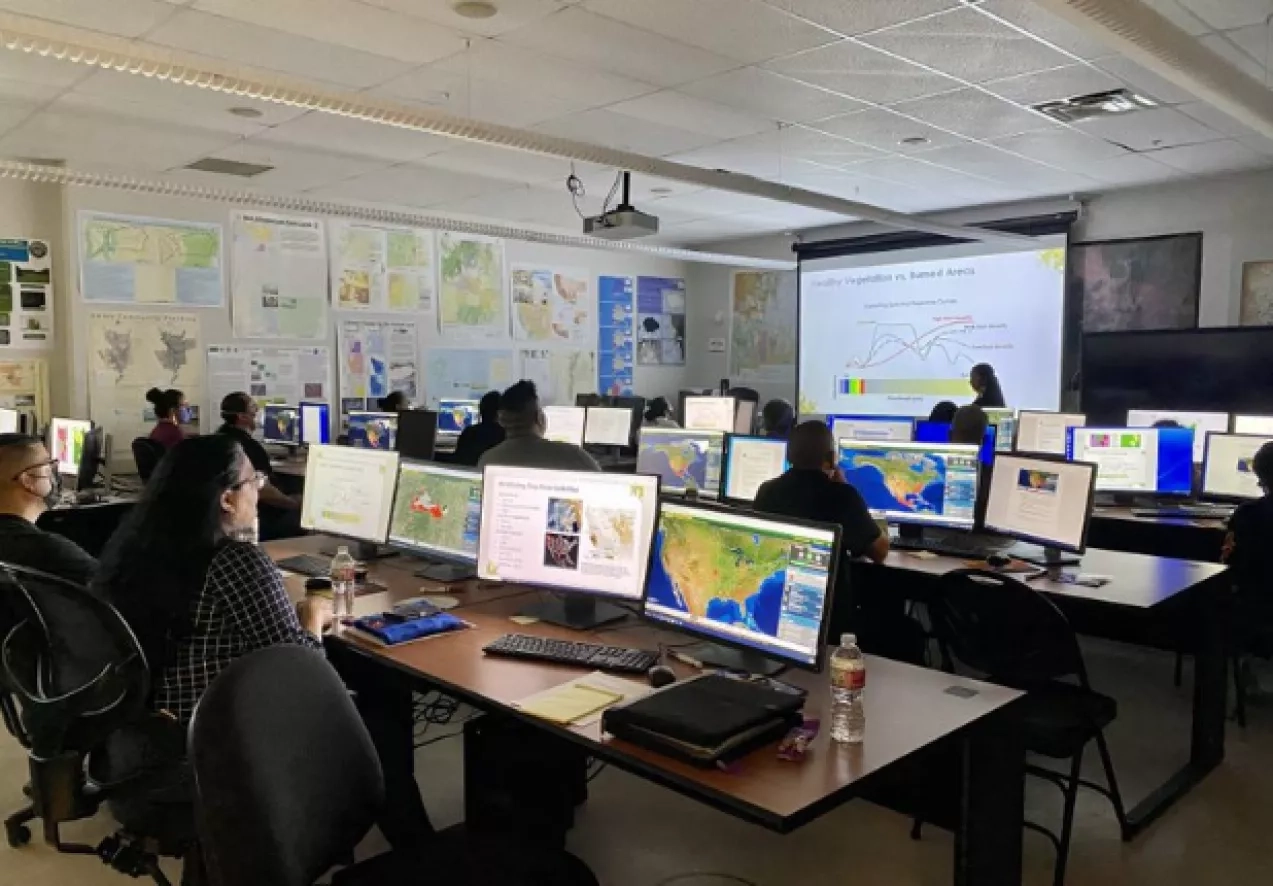
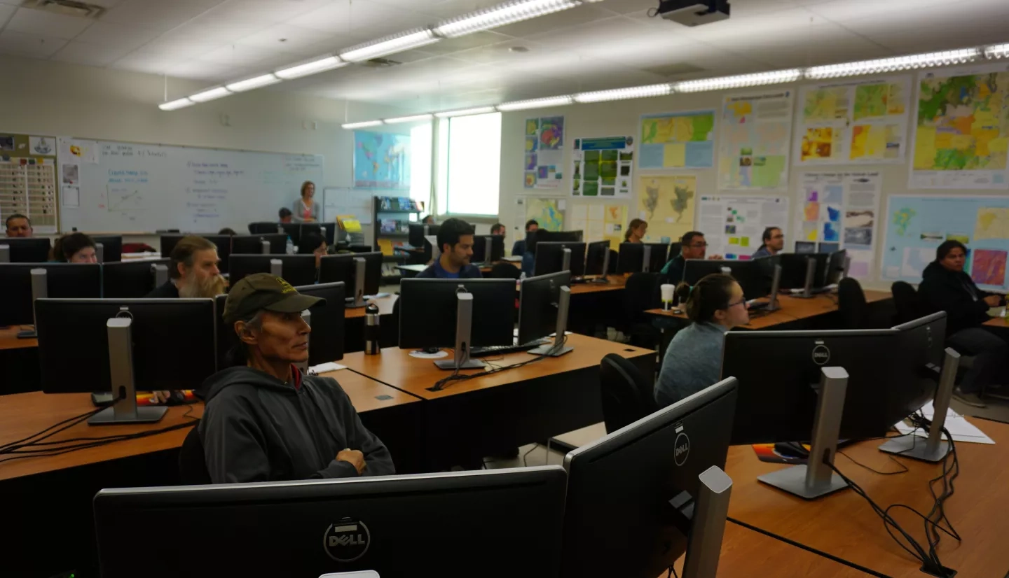
Geospatial Trainings
Our remote sensing trainings focus on place-based and culturally relevant uses of NASA Earth data. These trainings are both in person and virtual and focus on the following topics:
- Ecological conservation
- Water resources
- Disasters
- Ocean and coastal applications
Trainings center around a real-world need. They begin with dialogue about the best geospatial tools, themes and techniques communities can use to solve their challenges. This includes the use of web-based and open-source software. Past trainings have provided lessons and hands-on exercises on topics such as:
- Introduction to remote sensing
- Vegetation health and calculating indices
- Land cover classification
- Assessing maps’ accuracy
- Coastal and wetland mapping
- Drought and agricultural monitoring
- And much more
Watch past trainings on YouTubeTake introduction to remote sensing for tribal lands training
Building Relationships
The Indigenous Peoples Initiative engages communities and builds relationships. We listen to the communities by attending and hosting meetings, conferences and workshops centered around the Indigenous geospatial community in the United States and globally. We also host knowledge exchange workshops, convene conference sessions and town halls, and contribute to the growing community of practice.