Imagen
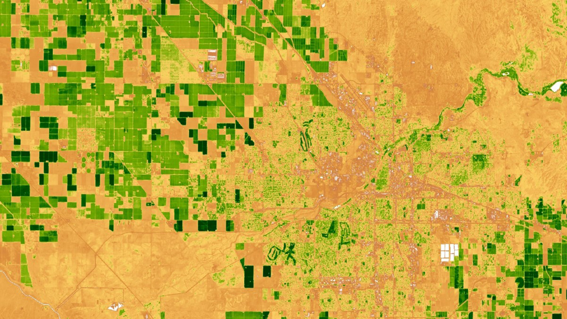
The US Fish and Wildlife Service (USFWS) monitors and approves the creation of Habitat Conservation Plan (HCP) areas under the Endangered Species Act (ESA). Habitat Conservation Plans allow economic development in areas that have threatened and endangered species with the agreement that the developer provides a necessary alternative habitat for the species that rely on areas being developed. The USFWS creates each HCP with the landowner or developer, and the HCP is tailored to fit the needs of both the proposed development or land use and the species that will be affected. While regulations limit the activities and development in HCP areas, it is difficult for the USFWS to effectively monitor all the land that falls within HCPs. Partnering with the USFWS, a user-friendly interface was developed in the Google Earth Engine API to display remotely sensed imagery obtained from Landsat 5 TM, Landsat 7 ETM+, Landsat 8 OLI, and Sentinel-2 MSI satellites. These data were used to remotely determine past land use changes in the HCPs from 2000 to 2017. The user interface displays Normalized Difference Vegetative Index (NDVI), Relative Green Index, changein Relative Green Index, Normalized Burn Ratio (NBR), and National Agriculture Imagery Program data to assist in land use change evaluation. This tool will be used by biologists and conservationists at the USFWS to assess land use change.