Oregon Wildfires (Summer 2022)
Team: Brenna Hatch (Project Lead), Kenya Creer, Jennifer Sobolewski, Nicole Roberts
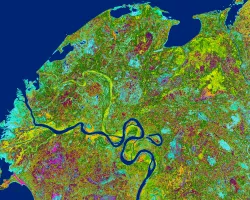
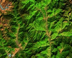
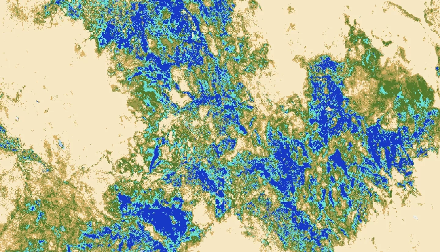
Summary: Wildfire season in the western USA is starting earlier and gaining in intensity. The Bootleg Fire in Southern Oregon began on July 6th, 2021, and burned over 1675 km2 before it was fully contained on August 15th, 2021. Evapotranspiration (ET) is one indicator of vegetation moisture and there is interest in using high-resolution ET products from ECOsystem and Spaceborne Thermal Radiometer Experiment on Space Station (ECOSTRESS) in future wildfire modeling. In partnership with the Pacific Northwest National Laboratory and US Forest Service, the team examined ECOSTRESS ET for the two years before the Bootleg Fire and assessed the relationship between ET, topography, and vegetation. Remotely sensed data from Shuttle Radar Topography Mission (SRTM) and Global Ecosystem Dynamics Investigation (GEDI) along with ancillary data from the National Land Cover Database (NLCD) and Landscape Fire Resource Management Planning Tools (LANDFIRE) were incorporated. The team examined data in relation to soil burn severity from the Burned Area Emergency Response (BAER) program. From ET median composites for April 1st – July 5th, 2021 and 2019, the Bootleg Fire area showed a 7 mm/day decrease in ET and a relative 75% decrease in ET between 2019 and 2021. Approximately 6% of the Bootleg Fire area was identified as having a high soil burn severity and these areas were found predominantly in the evergreen forest land cover class and northward facing slopes with a mean ET decrease of 3 mm/day between 2019 and 2021. The team also analyzed ECOSTRESS Water Use Efficiency products as an additional vegetation moisture indicator of pre-fire conditions in the study area. The end products will allow the partners to assess if higher resolution vegetation moisture datasets from ECOSTRESS will improve wildfire modeling for other susceptible areas.
Related Impact