Youngstown & Warren Disasters (Fall 2022)
Team: Lauren Mahoney (Project Lead), David Henriques, Nada Haddad, Thomas Ferrell
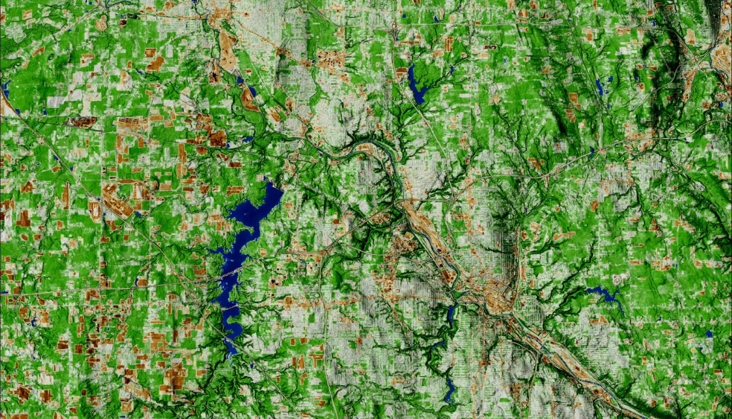
Summary: Both pluvial and fluvial flooding events pose direct challenges to urban infrastructure and communities across the United States. Heavy rainfall events oversaturate the ground, overflow waterbodies, and overwhelm stormwater infrastructure. Vulnerable areas receive severe damage from flooding due to physical factors like increased impervious surfaces, poor stormwater systems, and limited green spaces. These vulnerable neighborhoods comprise aging populations, minority communities, and lower income levels. The lack of data in these communities has made implementing policymaking and flood mitigation strategies challenging. Using the Urban Flood Risk Mitigation model (InVEST) and the PlanetScope satellite constellation, the team visualized historical flooding and tree canopy coverage to measure flood susceptibility. The team also used the Arc-Malstrom model to provide further insight into where flooding accumulates via surface elevation depressions in the study area. To validate these models, the team explored the spatial variation of rainfall events using NASA’s Integrated Multi-satellite Retrievals for Global Precipitation Measurement (GPM IMERG). The resulting maps highlight areas surrounding Youngstown and Warren’s cities as the most flood susceptible and socially vulnerable. In contrast, the city centers contain the lowest tree canopy coverage. The DEVELOP team collaborated with the Environmental Collaborative of Ohio (ECO) to create products for end users within the City of Warren’s Water Pollution Control Department, the Eastgate Regional Council of Governments, and the Healthy Community Partnership of Mahoning Valley. These products help identify target areas for preventative flood mitigation measures and areas ideal for green infrastructure intervention.
Related Impact