South Slough Water Resources (Summer 2023)
Team: Maya Hall (Project Lead), Gabriel Halaweh, Sean McCollum, Zoë Siman-Tov
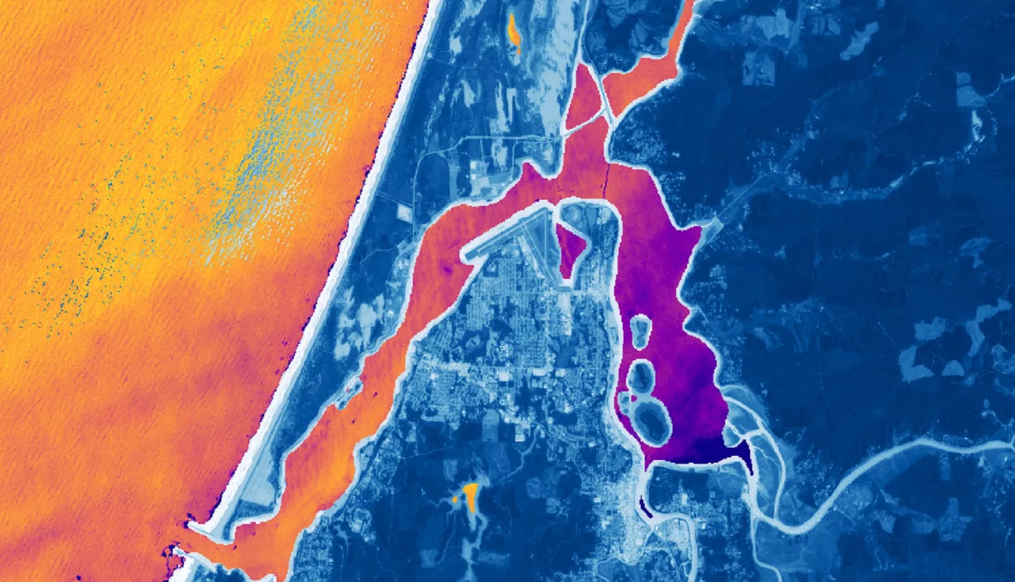
Summary: The Coos estuary in Southern Oregon supports a variety of habitats, including eelgrass (Zostera marina) meadows. Eelgrass meadows provide habitat to local and migratory wildlife, including commercially important fishes, and cultural resources to local communities. These ecosystem services establish eelgrass as an ecologically, economically, and culturally important resource. However, the extent and density of eelgrass meadows within this estuary have declined substantially since 2005, threatening the ecosystem services they provide. NASA DEVELOP partnered with the South Slough National Estuarine Research Reserve and the Confederated Tribes of the Coos, Lower Umpqua, and Siuslaw Indians’ Department of Natural Resources to generate time-series maps of the water quality conditions (chlorophyll-a, turbidity) and eelgrass extent in the Coos estuary from 2016 to 2023 to better understand the conditions driving eelgrass decline. The DEVELOP team used NASA Earth observations including Landsat 8 Operational Land Imager (OLI), Landsat 9 OLI-2, and the European Space Agency’s Sentinel-2 Multispectral Instrument (MSI) to generate these time-series maps. The team faced limitations in the feasibility of detecting eelgrass within the Coos Estuary, including spectral resolution, tidal phase, and turbidity. These limitations indicate additional in situ data collection will be necessary for accurate eelgrass assessment. Meanwhile, the team determined it is feasible to assess turbidity and chlorophyll-a within the Coos Estuary using remote satellite data. These tools enabled the research partners to assess water quality characteristics within the Coos Estuary at a greater spatial scale and may provide a method of inexpensive preliminary investigation of eelgrass meadow locations.