Imagen
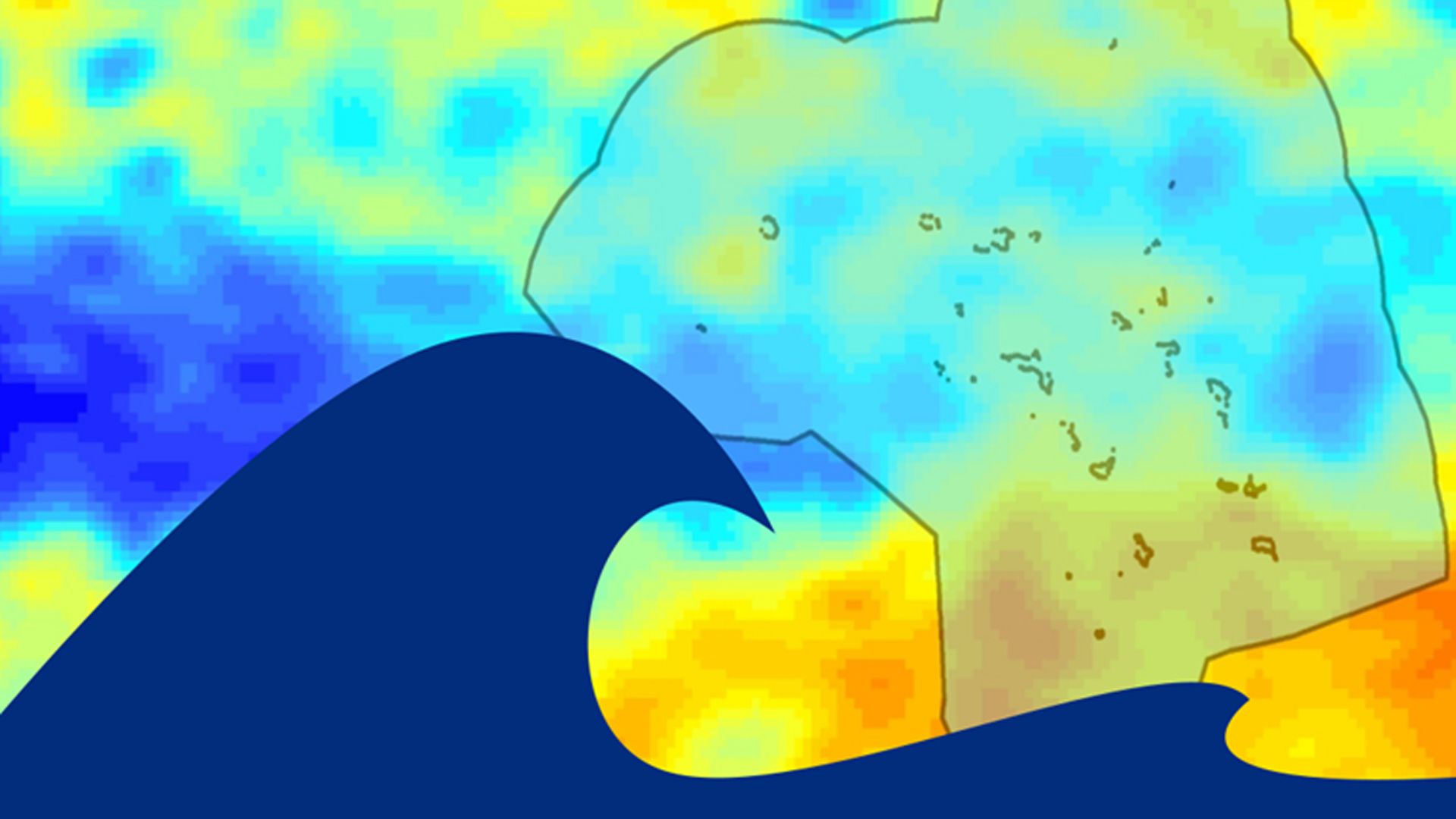
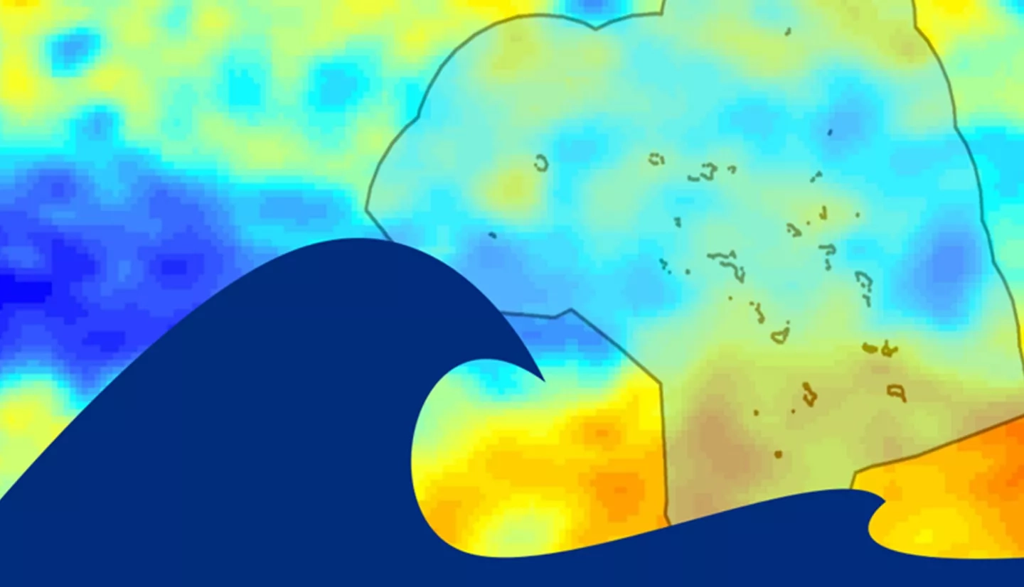
The project team partnered with the Regional Climate Services Director (RCSD) for the Pacific Region under NOAA National Centers for Environmental Information (NCEI) to analyze near-real time (i.e., weekly) spatial and temporal patterns and trends in sea-surface height (SSH) around the US Affiliated Pacific Islands (USAPI). Ocean Surface Topography Mission data and current tidal data from in situ measurements were used in conjunction with in situ and satellite data from buoys, tide gauges, NASA's Sea Surface Height (SSH) climate record derived from the TOPEX/Poseidon mission and Ocean Surface Topography Mission data from Jason-2 and Jason-3 satellites, and a blend of satellites for NOAA's CoastWatch and OceanWatch. The team produced a significant wave height climatology, a wave direction climatology, a 1 week to 3 week outlook, and a categorical inundation risk metric to assess island inundation risk. End users will use the risk metric tool set climatologies and distribute this information to coastal hazard and climate adaptation decision makers in the USAPI.