Description
June 02, 2016 - June 30, 2016
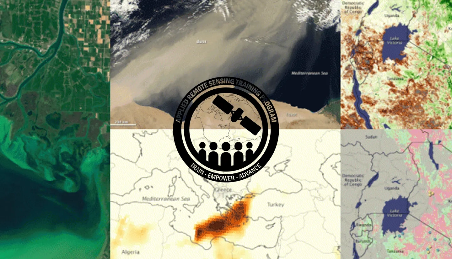
Predicting and monitoring disease outbreaks and environmental health events is vitally important to public health and safety. NASA Earth Science resources can benefit decision-makers looking to apply remote sensing data within the health community.
This introductory course will provide an overview of environmental parameters available from NASA Earth Science that are useful for monitoring and predicting health for decision support. There are many different data sources from different satellite missions, sensors, and models, and sessions will outline their features, strengths, and limitations. It will also cover easily-accessible NASA data, web-based tools, analysis, visualization, and examples of data usage.
This introductory course requires no previous remote sensing experience, but knowledge of health data and environmental data will be important.
Attendees will learn how to use and apply NASA remote sensing data for health applications.
This course is aimed at health researchers, health policy makers, ministries of health staff, and the general public.
- Five 90-minute sessions
An overview of the fundamentals of remote sensing; satellites and sensors; advantages and disadvantages of remote sensing; satellite data processing levels; and going from observations to applications. Presenters: Pawan Gupta: USRA; Maury Estes, The University of Alabama, Huntsville. View the Recording
A brief overview of NASA satellite missions, the NASA Applied Sciences health focus area and its objectives, satellites that collect remotely sensed data for health applications, and examples of health projects. Presenter: John Haynes, NASA HQ. View the Recording
An overview of the national environmental public health tracking program and network, the CDC-NASA partnership, new initiatives, a portal demonstration of the CDC tracking network, aerial photography, the 2010 Haiti Earthquake, CDC climate-ready states and cities initiative, and vulnerability assessments. Presenters: Ambrish Vaidyanathan and Arie Manangan, CDC. View the Recording
- Presentation Slides (Applications of Remote Sensing Data for the National Environmental Public Health Tracking Program) (English)
- Presentation Slides (The Bird's Eye View of Health) (English)
- Presentation Slides (Applications of Remote Sensing Data for the National Environmental Public Health Tracking Program) (Spanish)
- Presentation Slides (The Bird's Eye View of Health) (Spanish)
An overview of harmful algal blooms (HABs), why they're a problem, satellites and cyano HABs, algorithms, and applications. Presenter: Richard Stumpf, NOAA National Centers for Coastal Ocean Science. View the Recording
An overview of mosquito ecology and mosquito-borne diseases, remotely sensed data for monitoring mosquito-borne disease transmission, applications to support disease control and elimination, and a training summary. Presenter: Michael C. Wimberly, South Dakota State University. View the Recording


